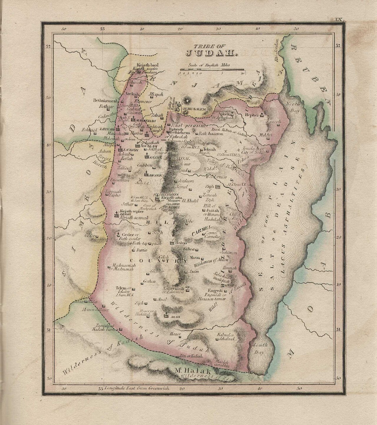
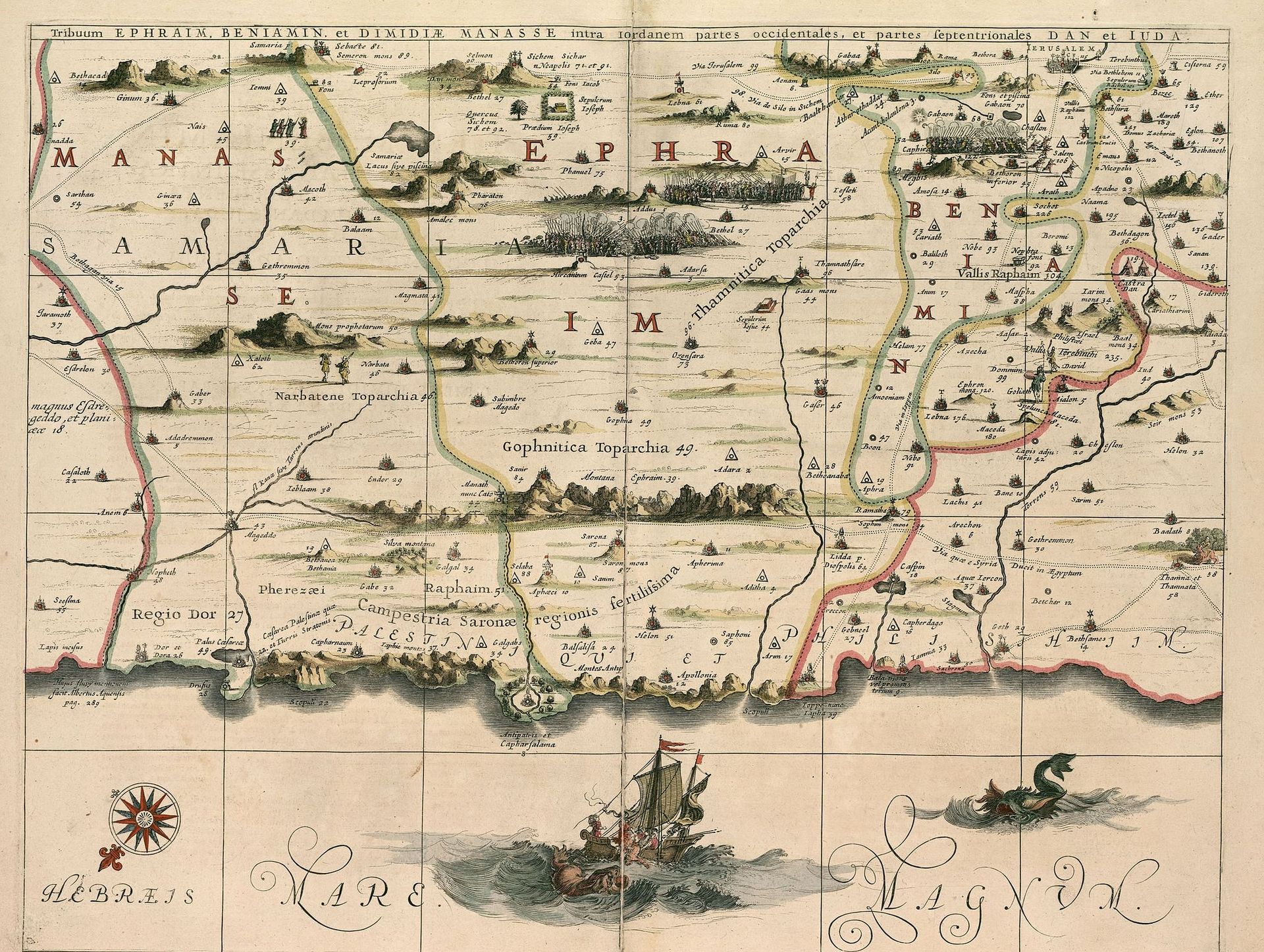
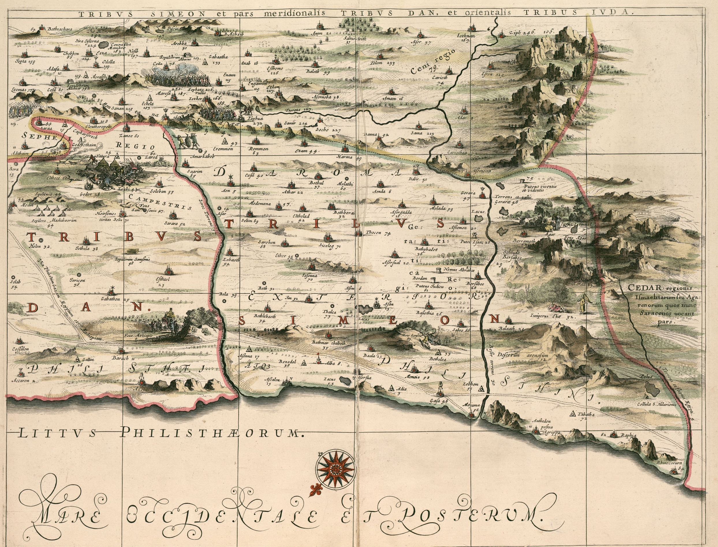
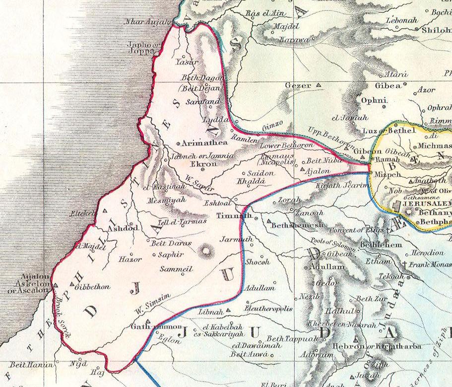
Maps of Israel — Biblical & Historical
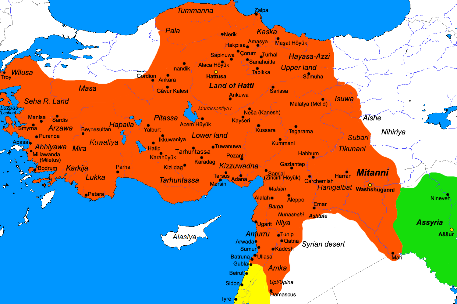
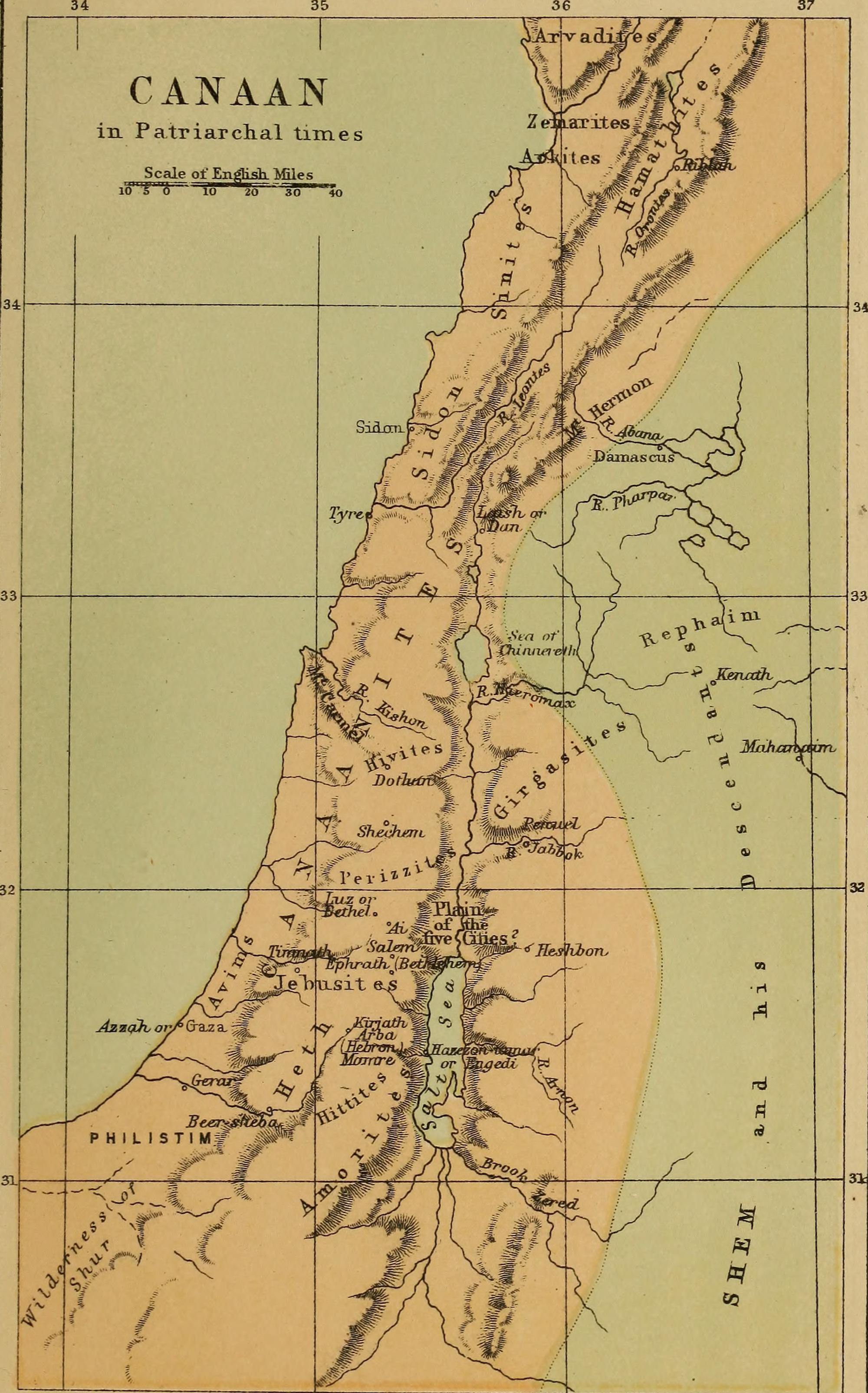
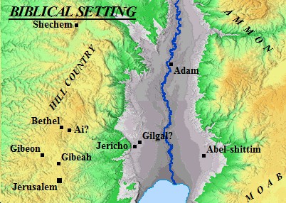
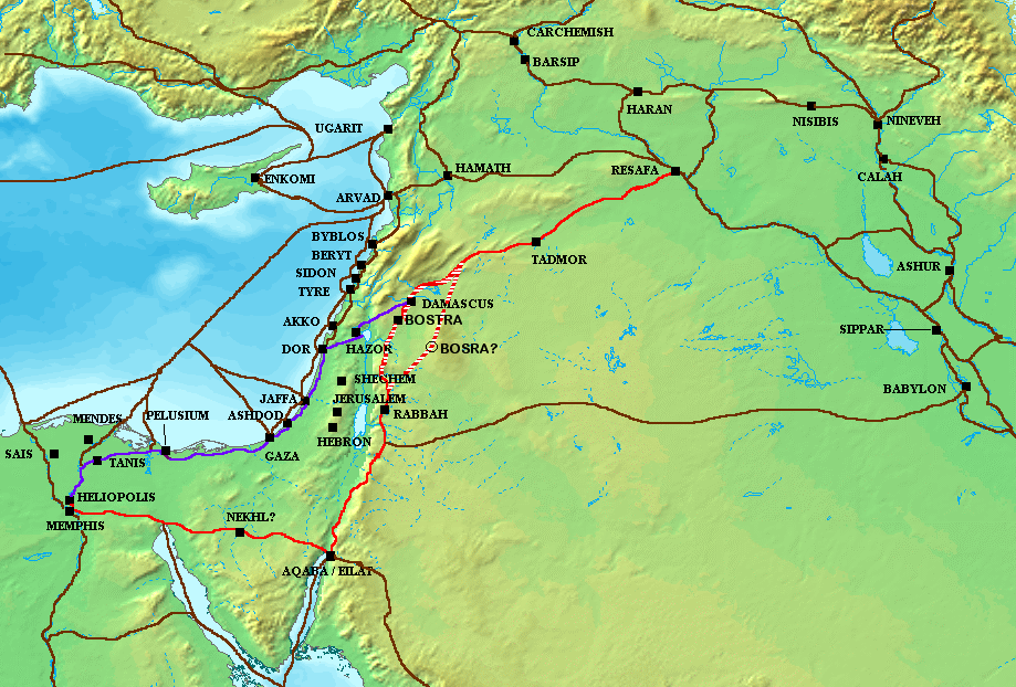
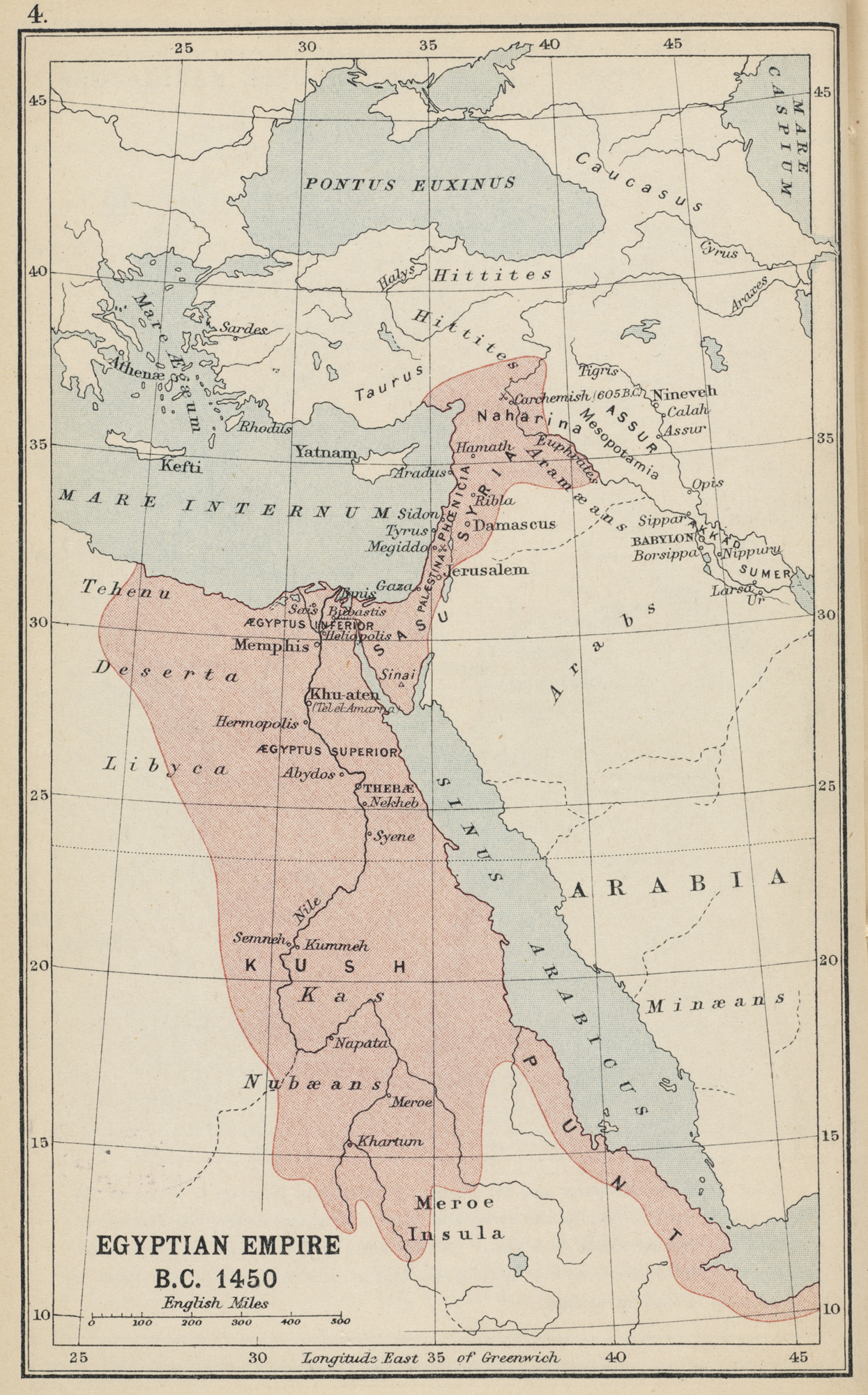
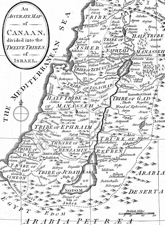
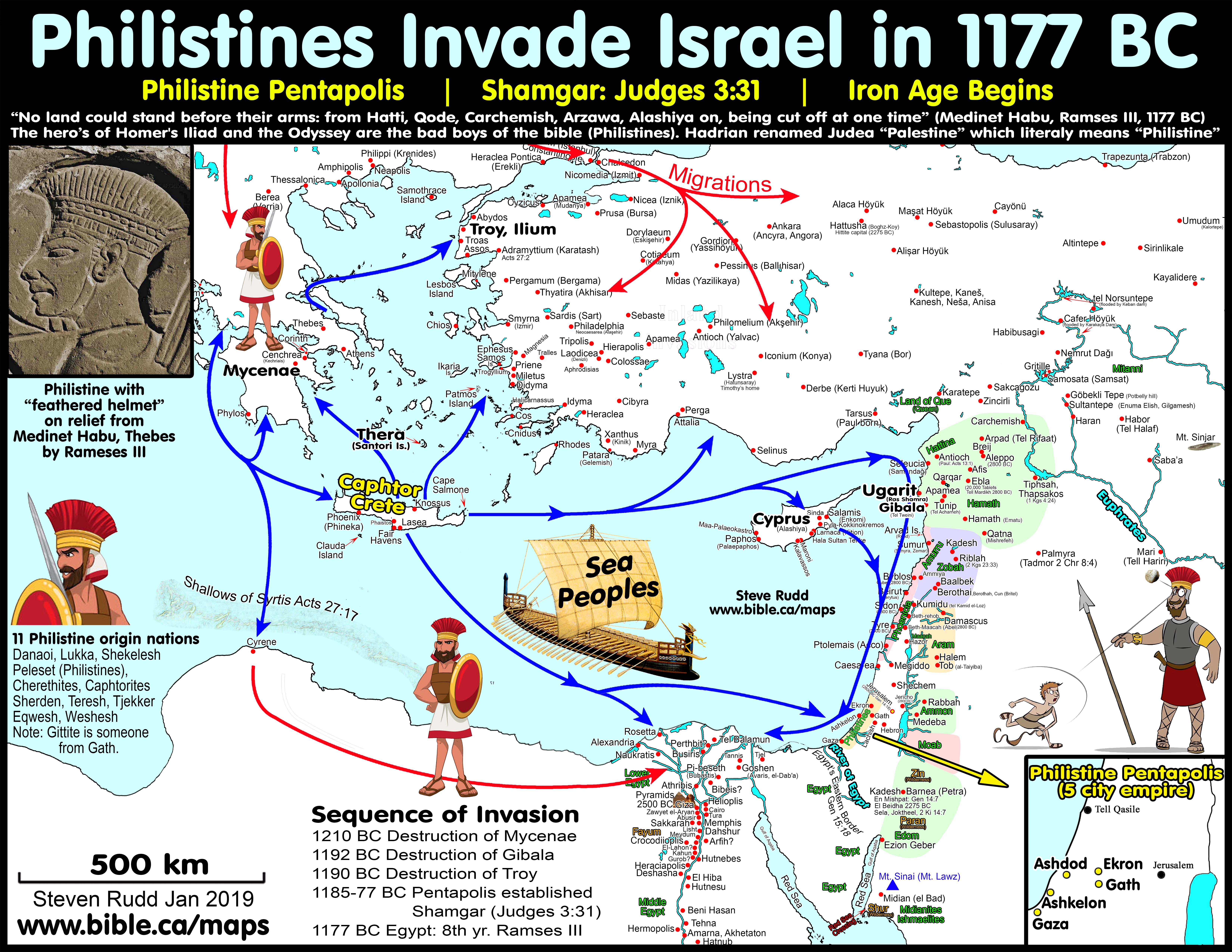
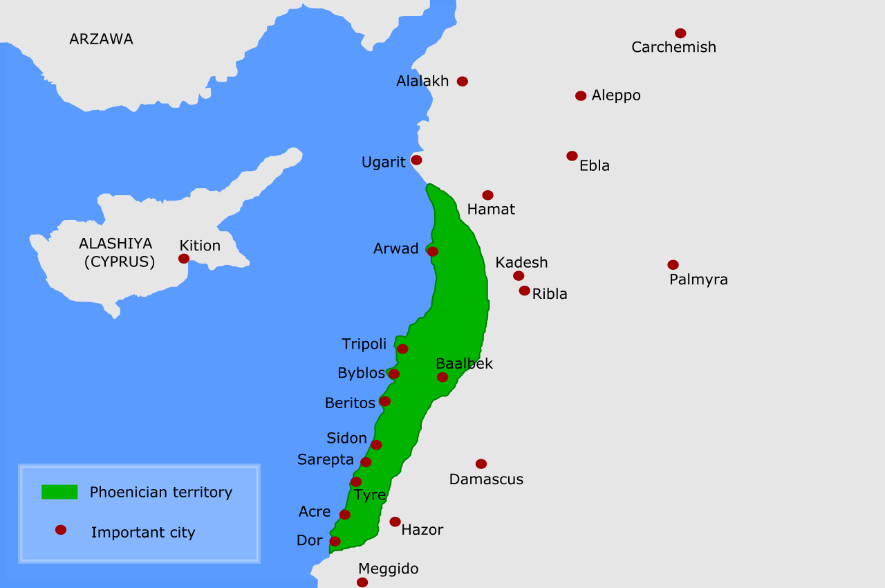
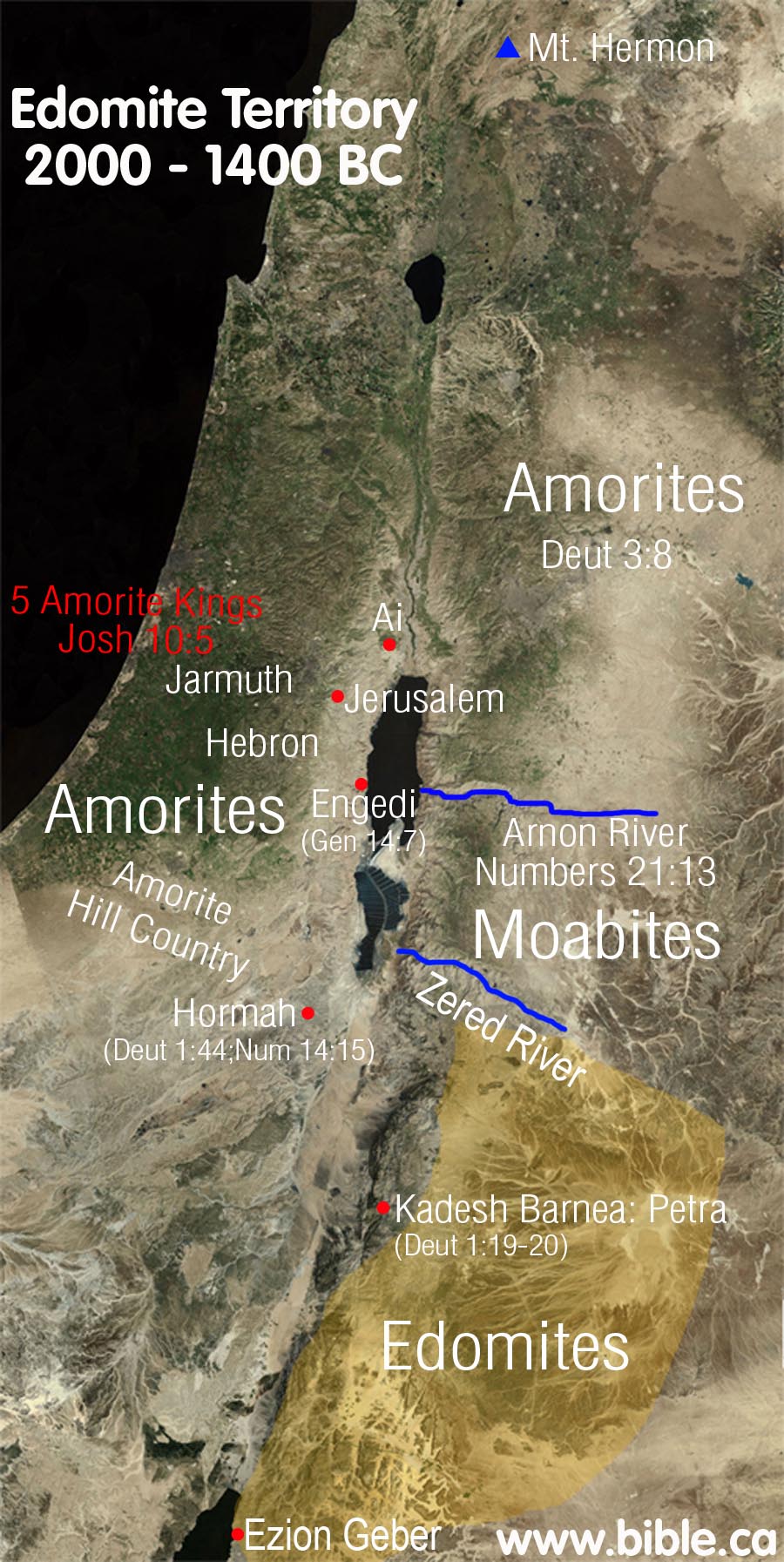
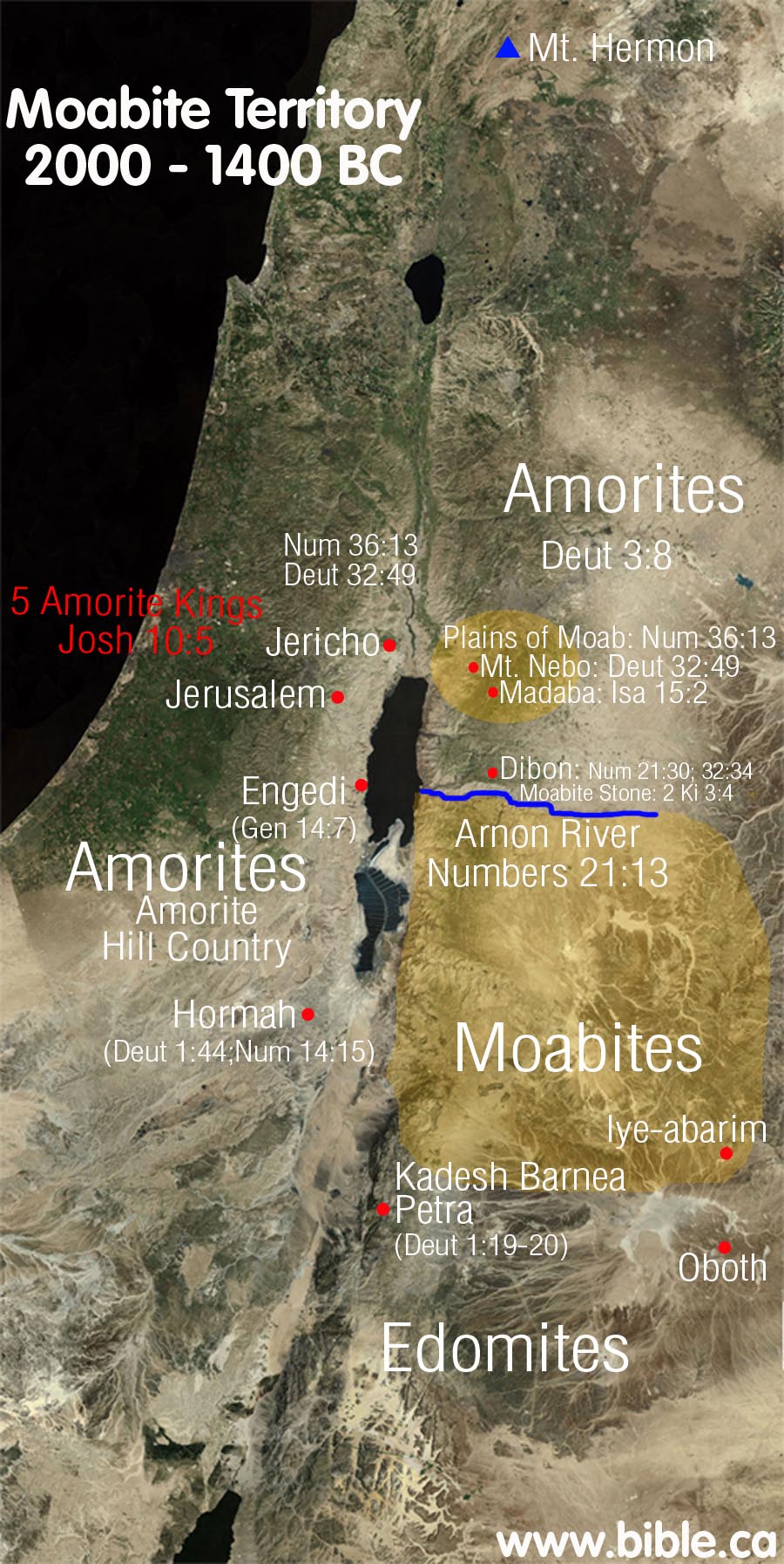
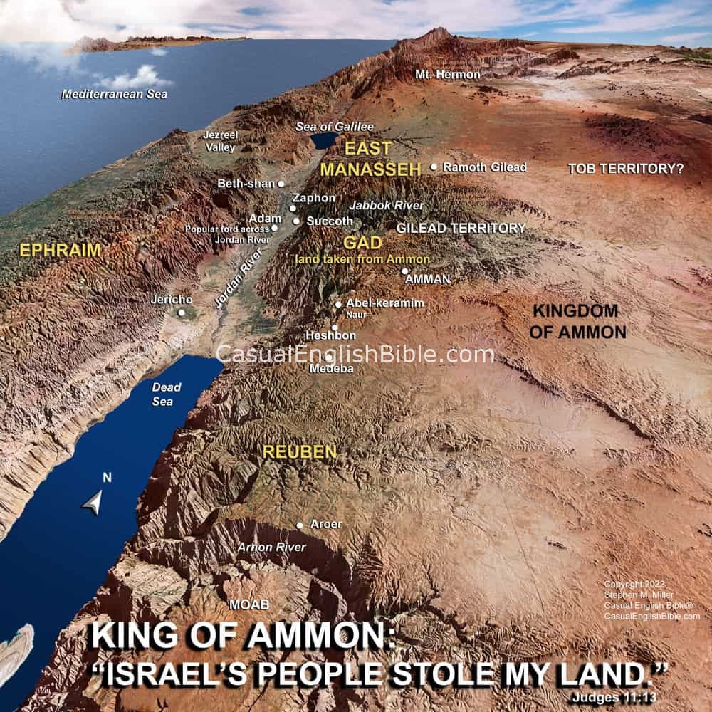
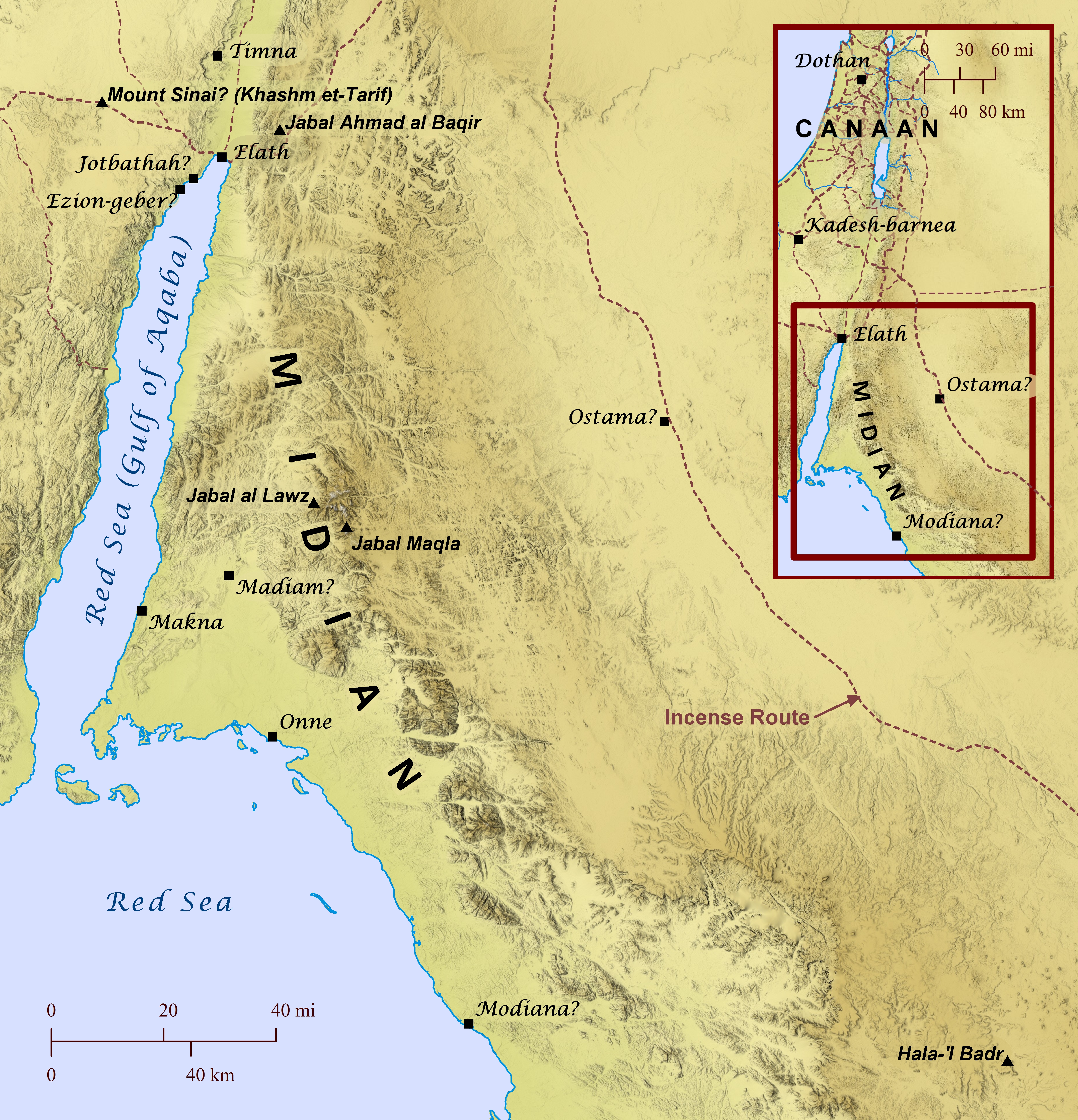
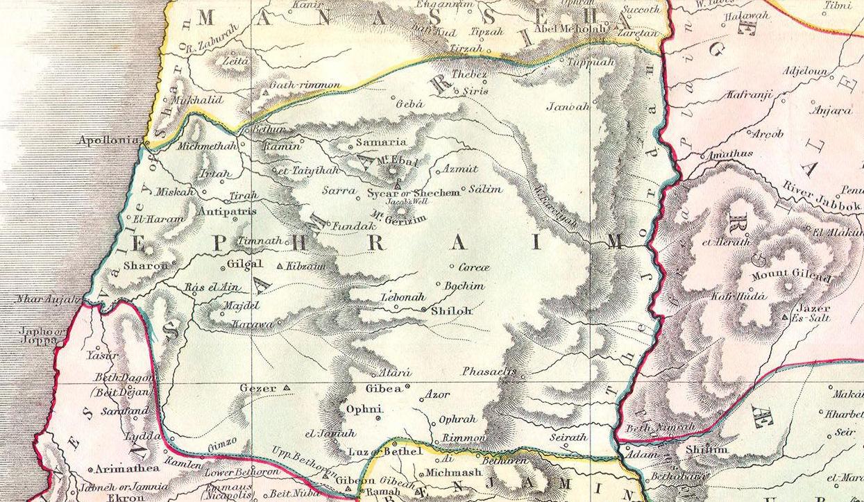
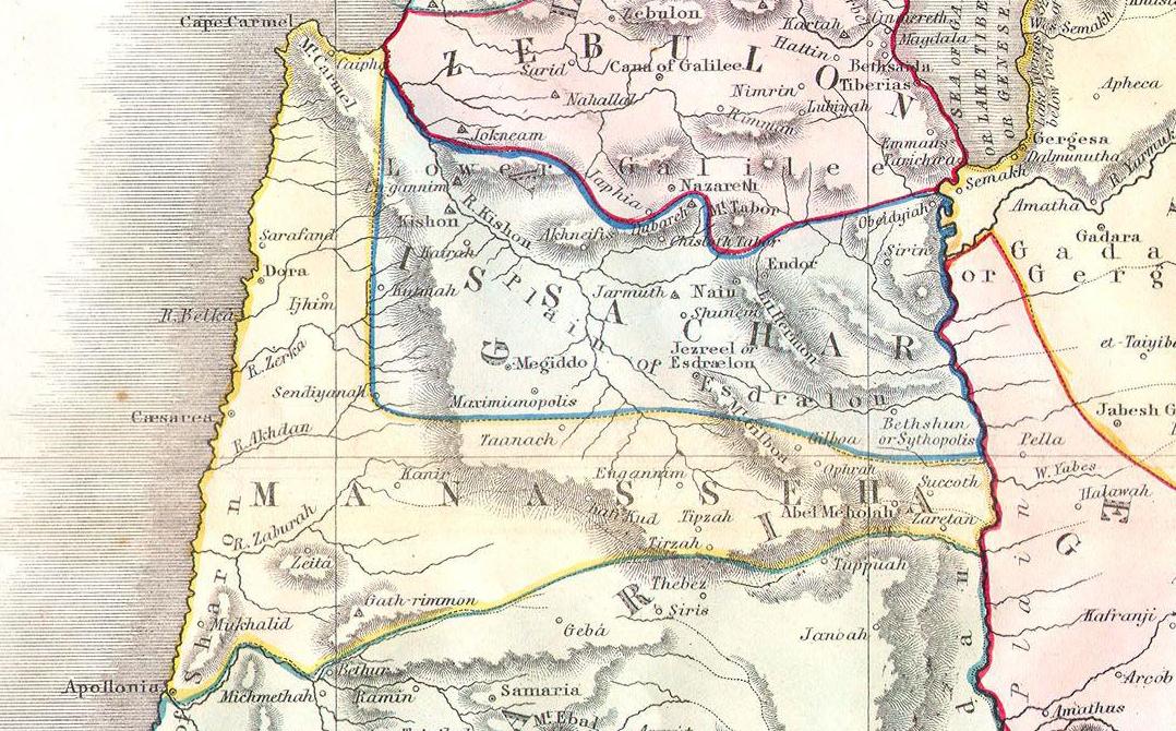
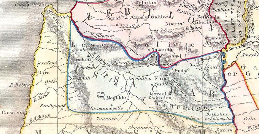
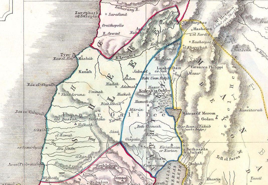
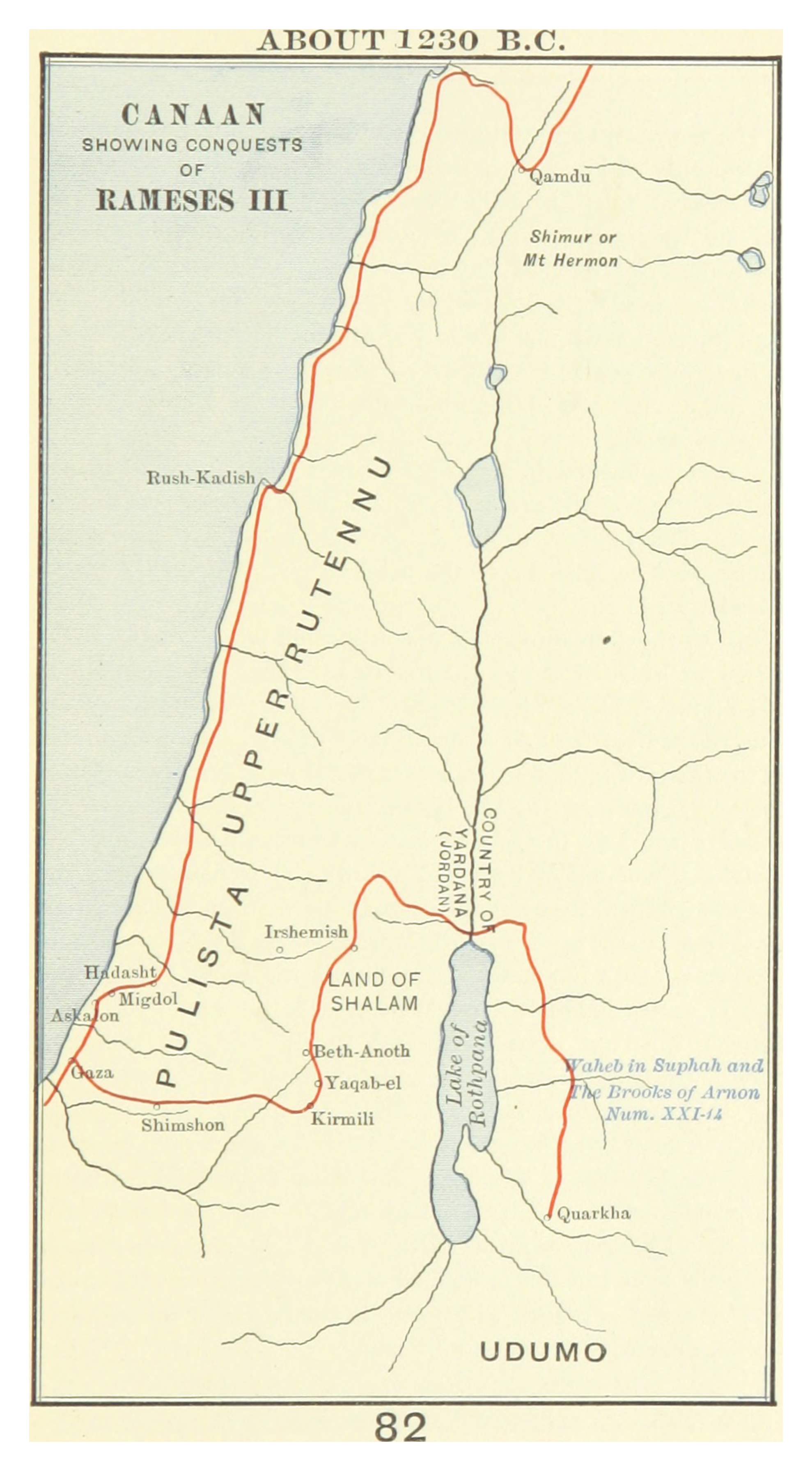
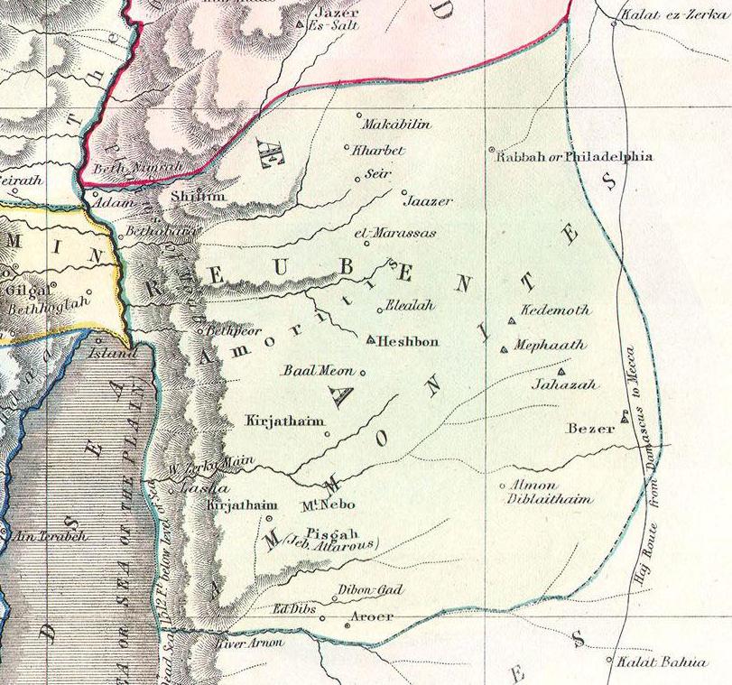
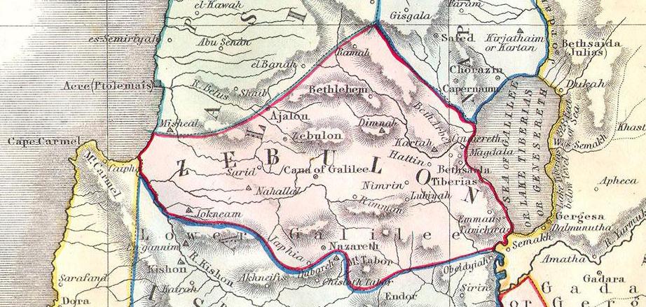
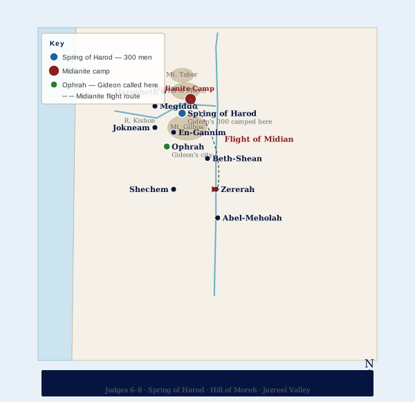
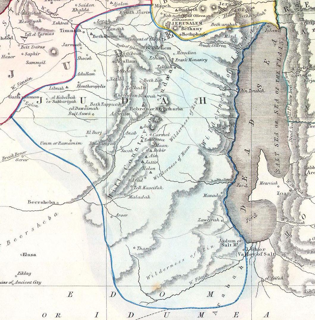
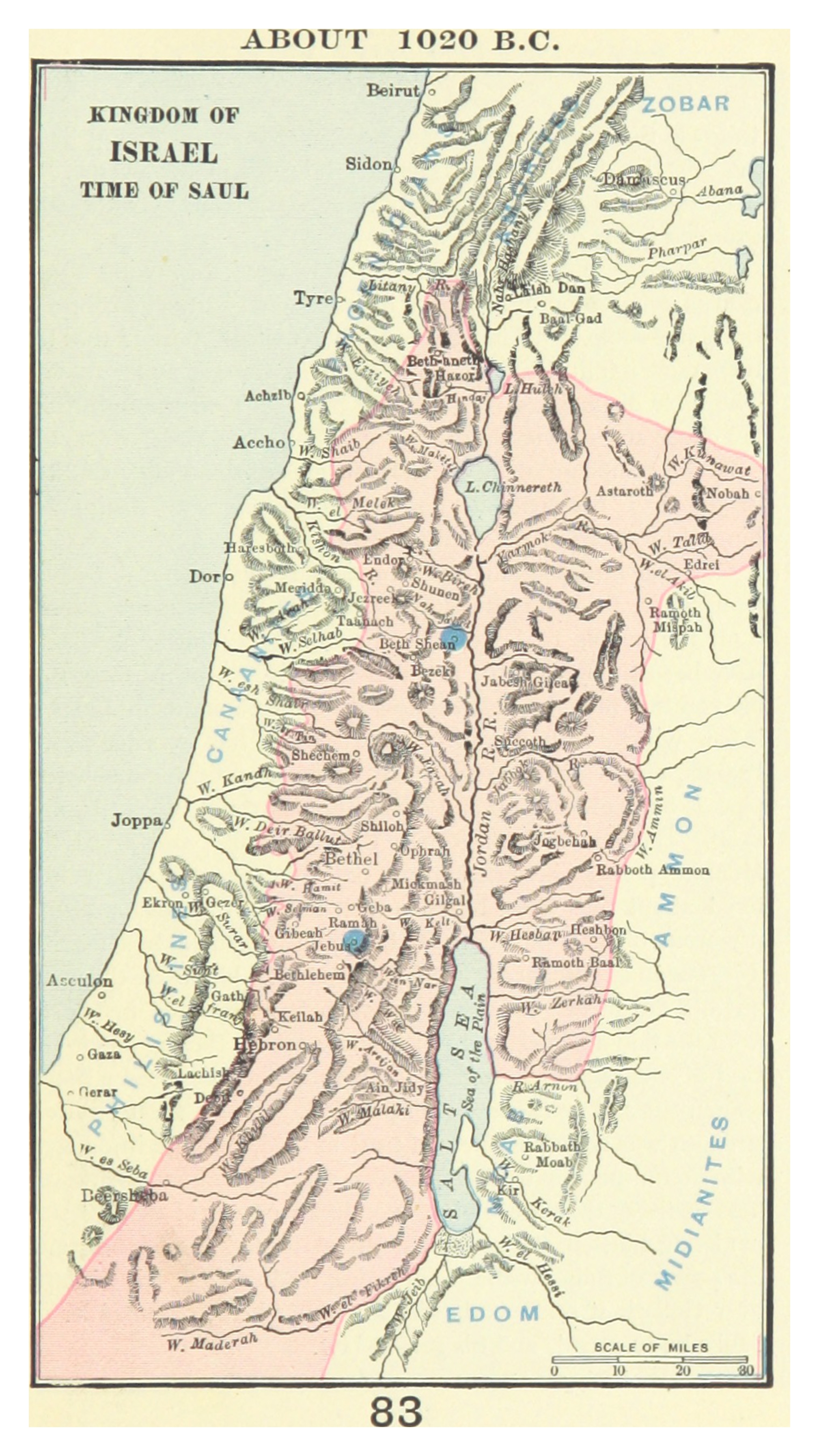
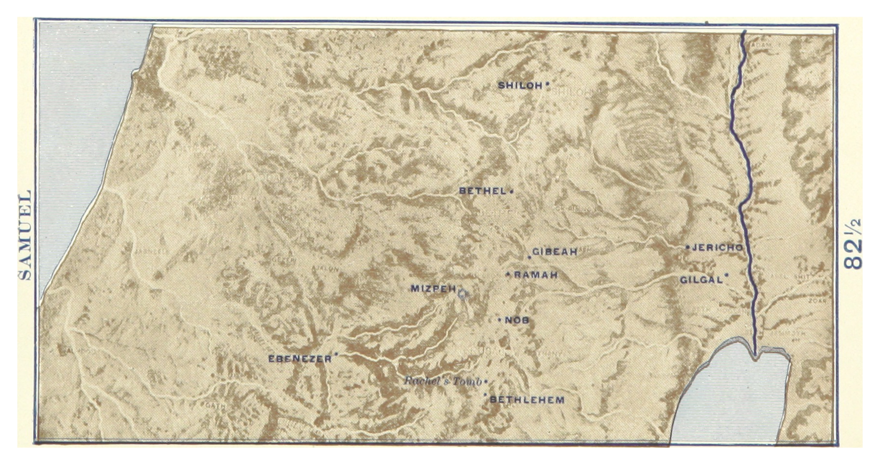
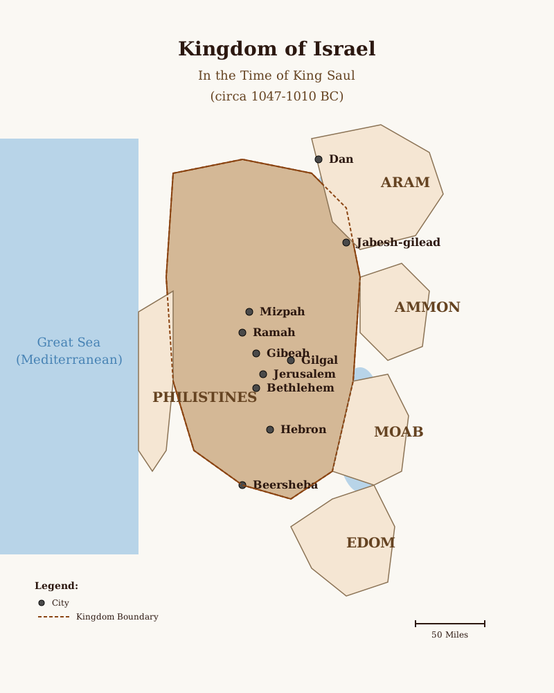
The Maps of Israel Resource Library at Christians Standing With Israel is one of the most comprehensive collections of biblical and historical cartography available anywhere online. Assembled and drawn by Michael Knighton — a researcher and Christian Zionist author who has resided in Israel for more than twenty years — the collection spans over four thousand years of sacred and secular history, from the earliest civilizations of the Ancient Near East to the founding and modern expansion of the State of Israel. With original hand-drawn maps organized across twelve thematic categories, this library exists to help believers, scholars, students, and anyone seeking to understand the land of the Bible grasp the geographic reality behind the Scripture they read.
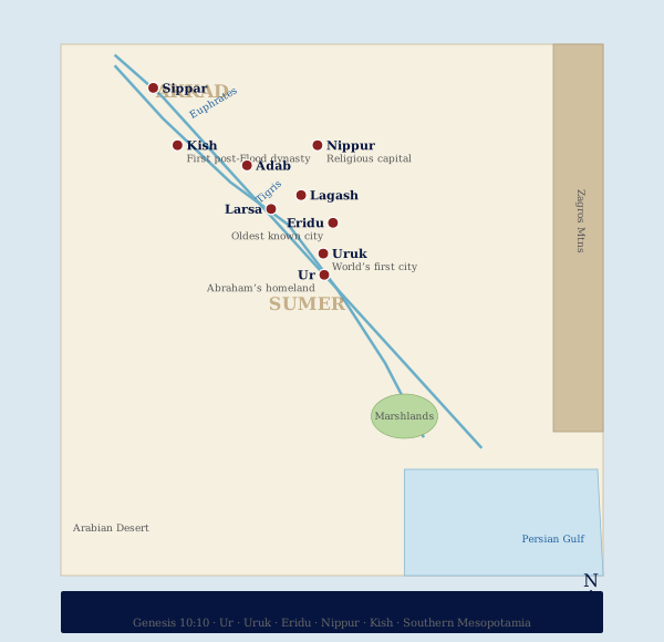
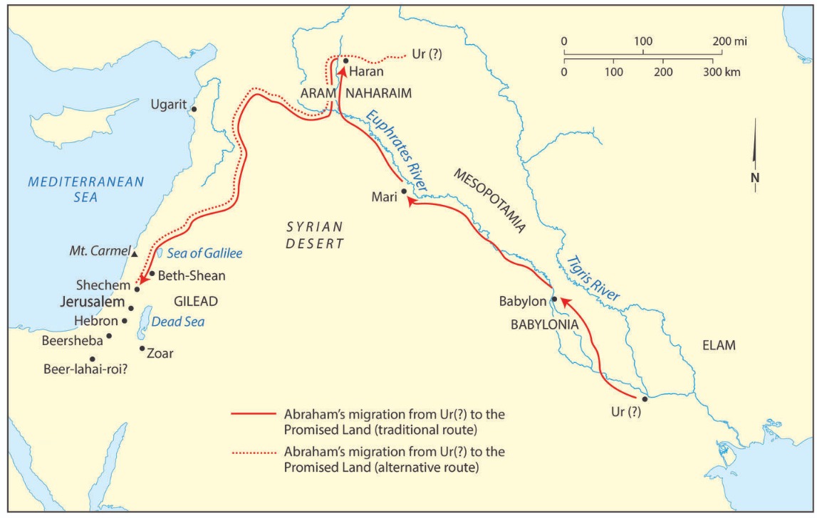
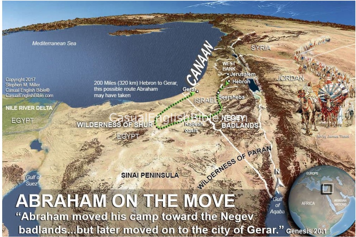
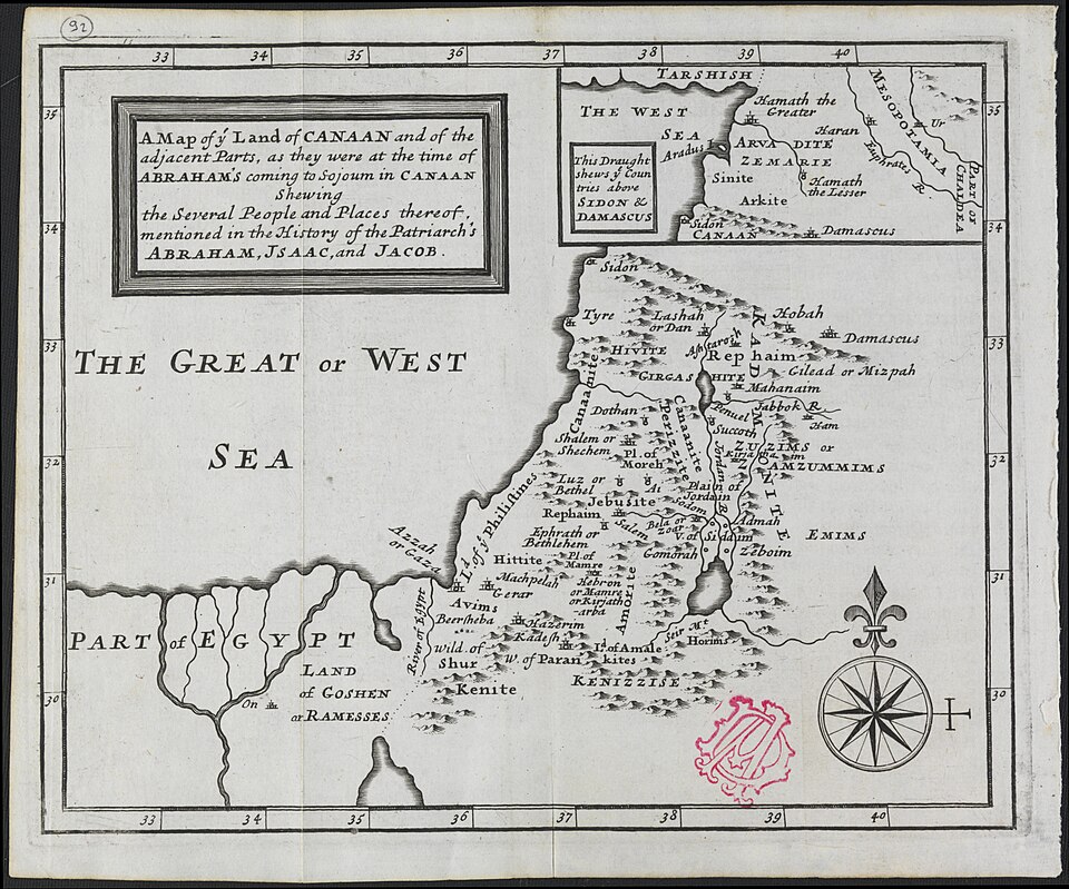
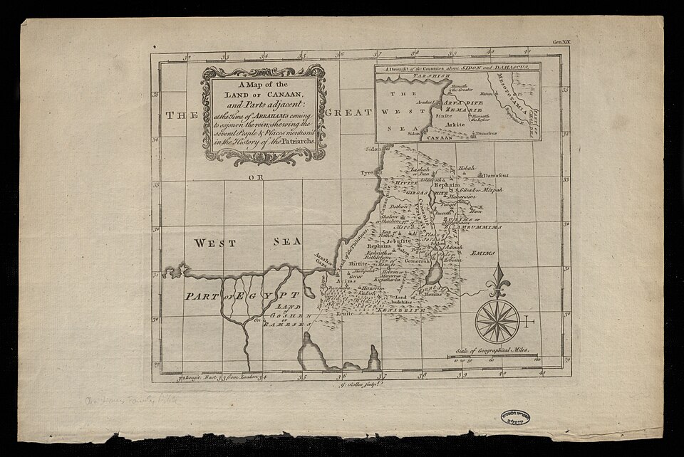
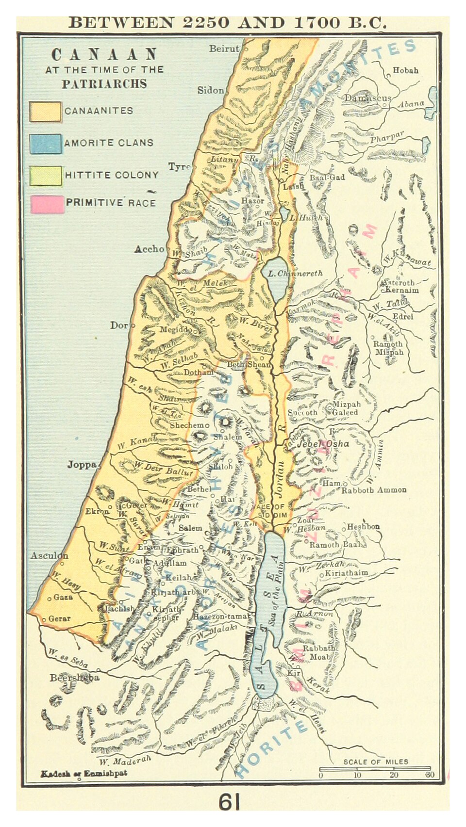
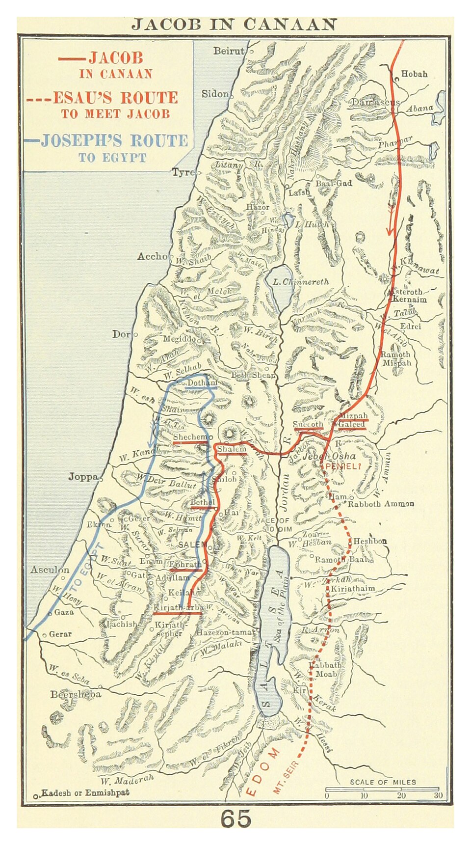
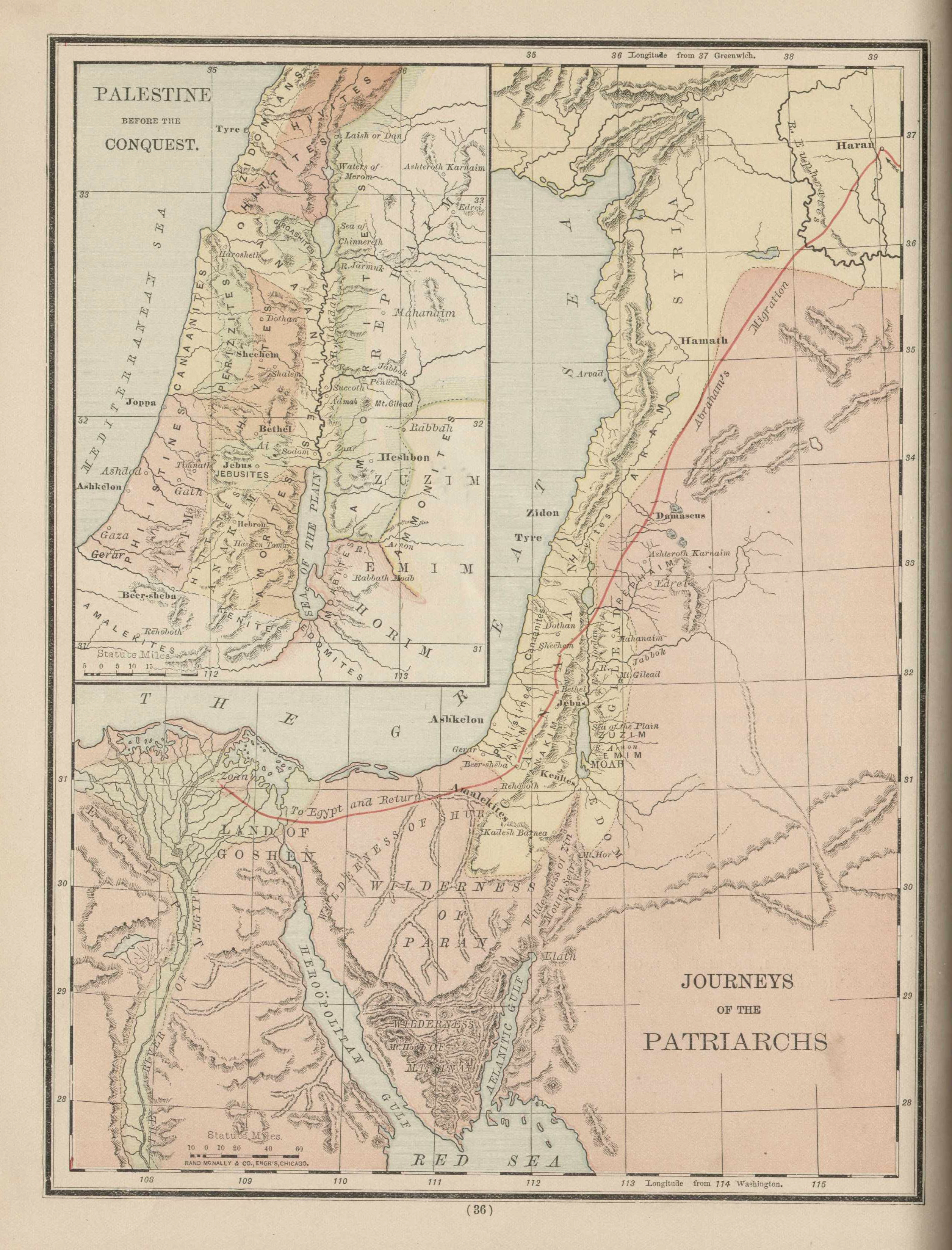
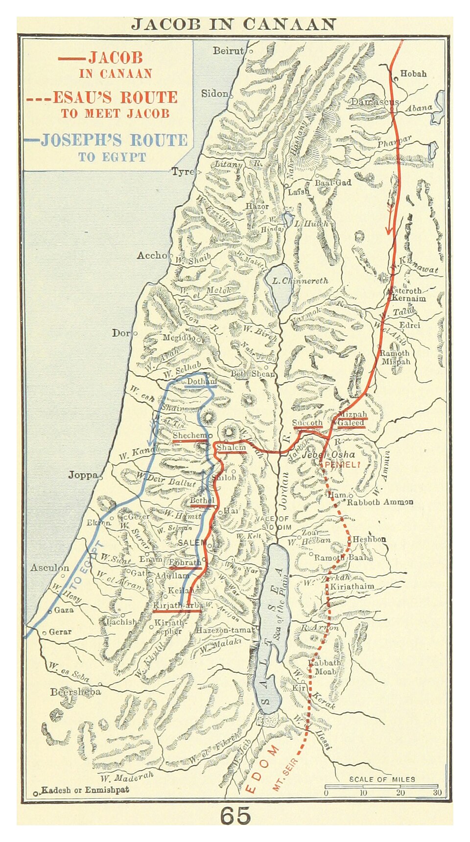
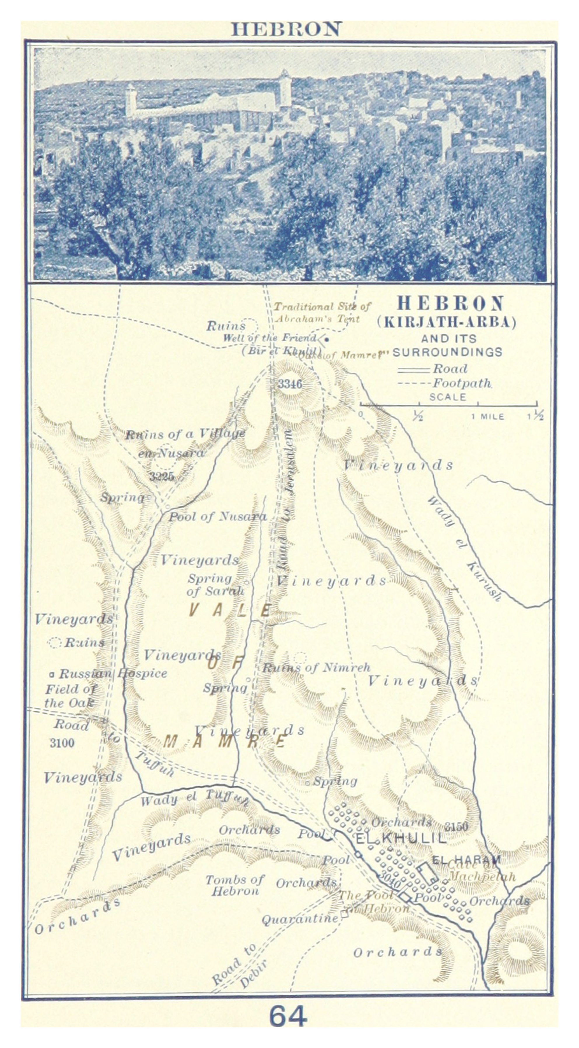
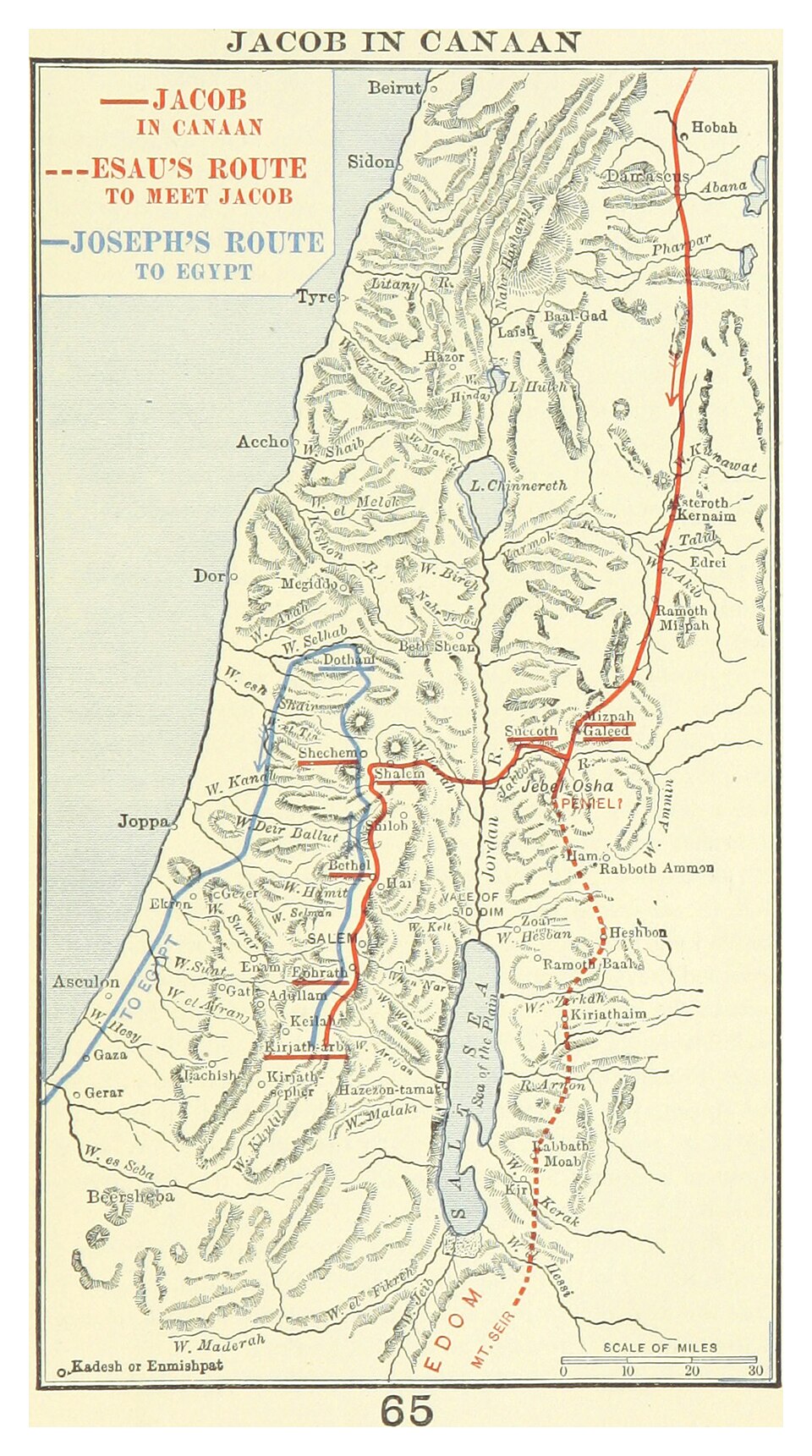
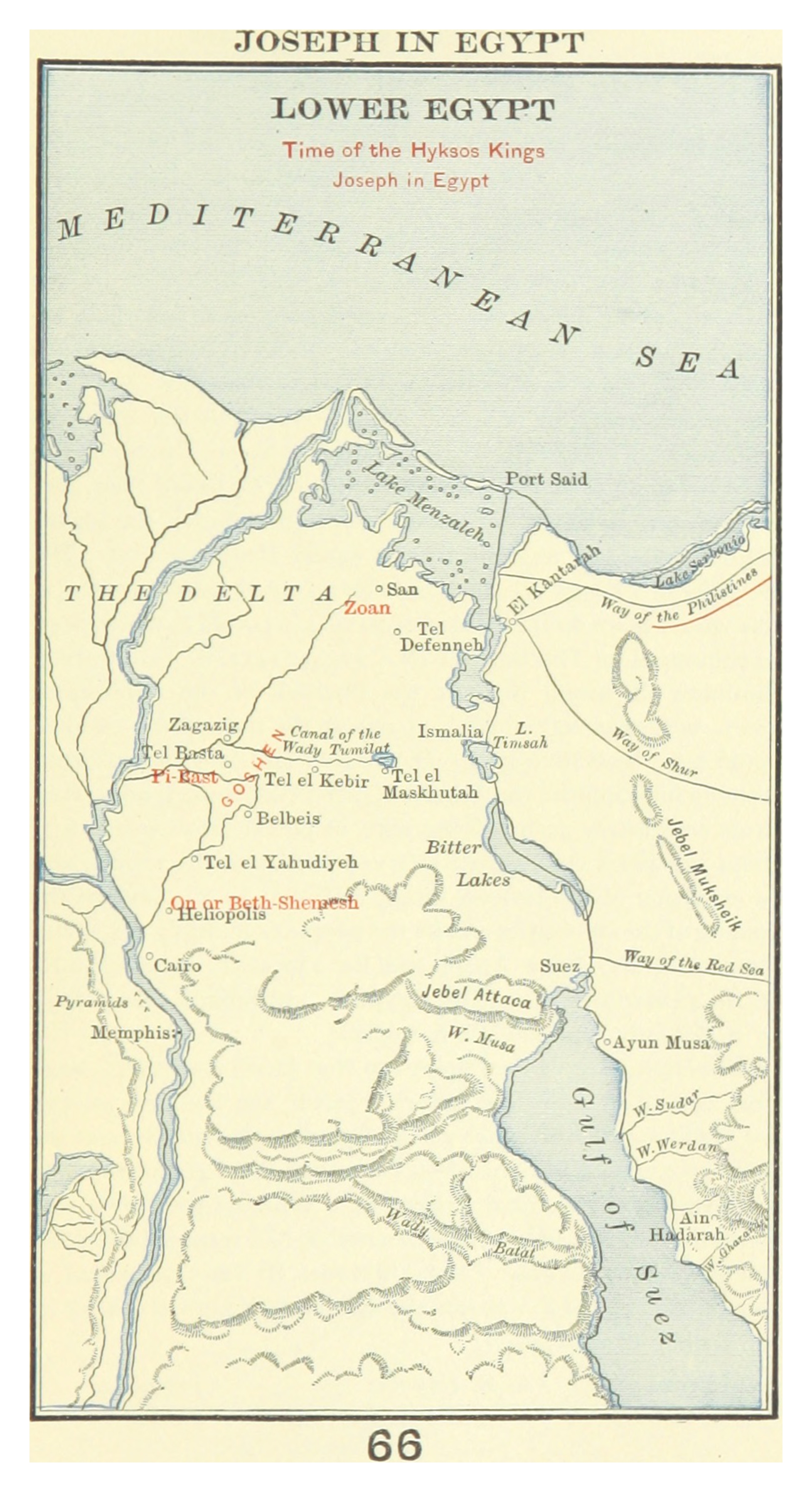
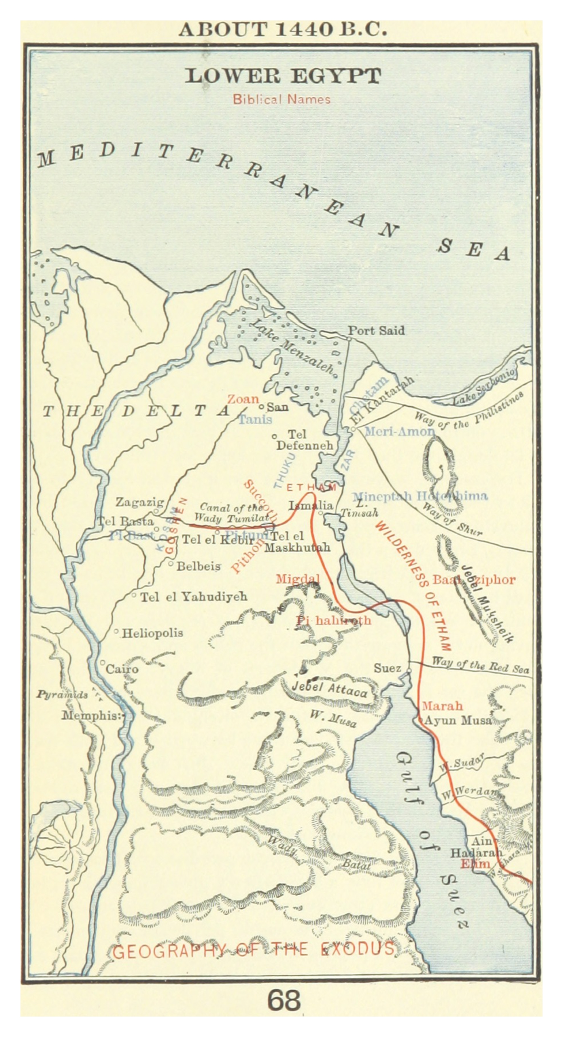
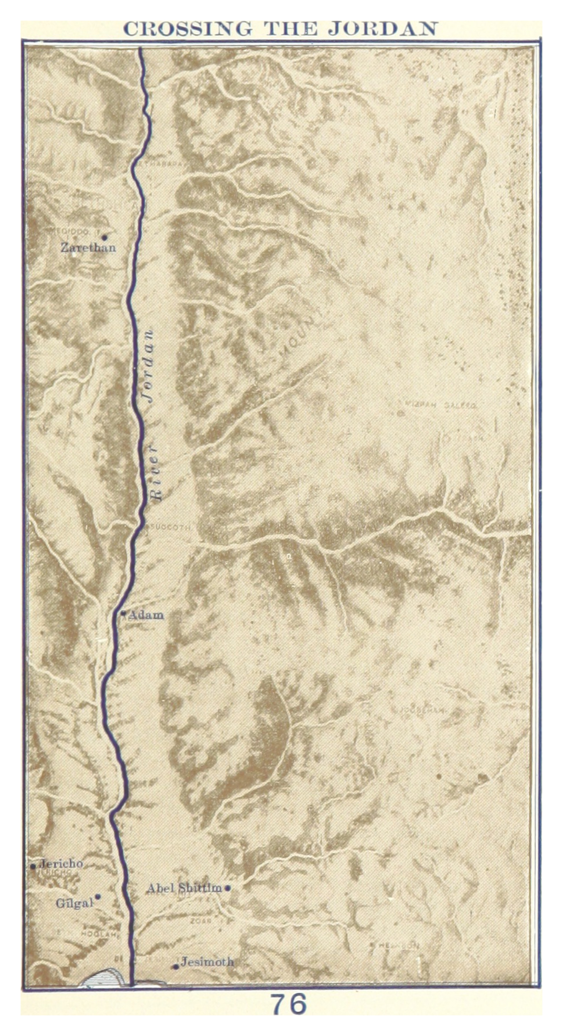
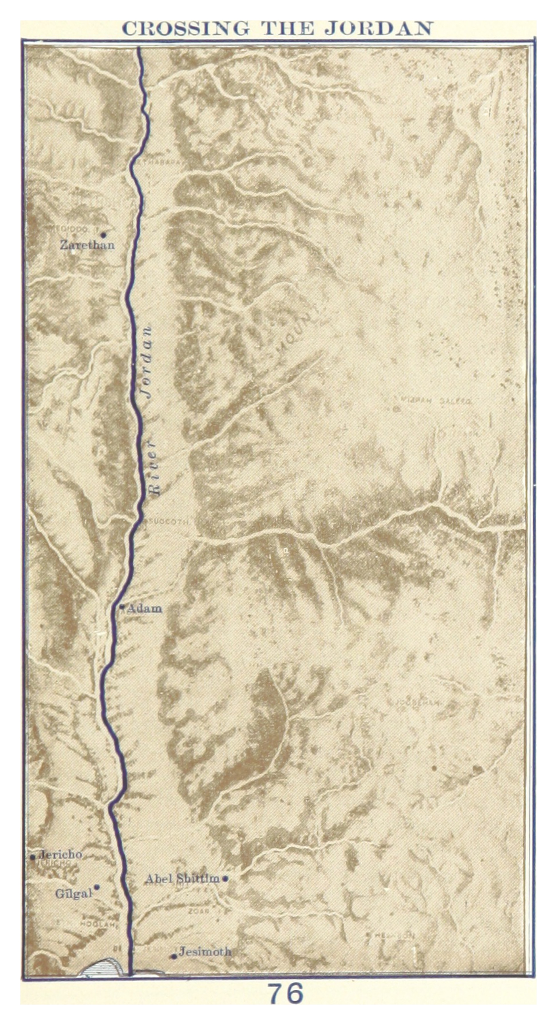
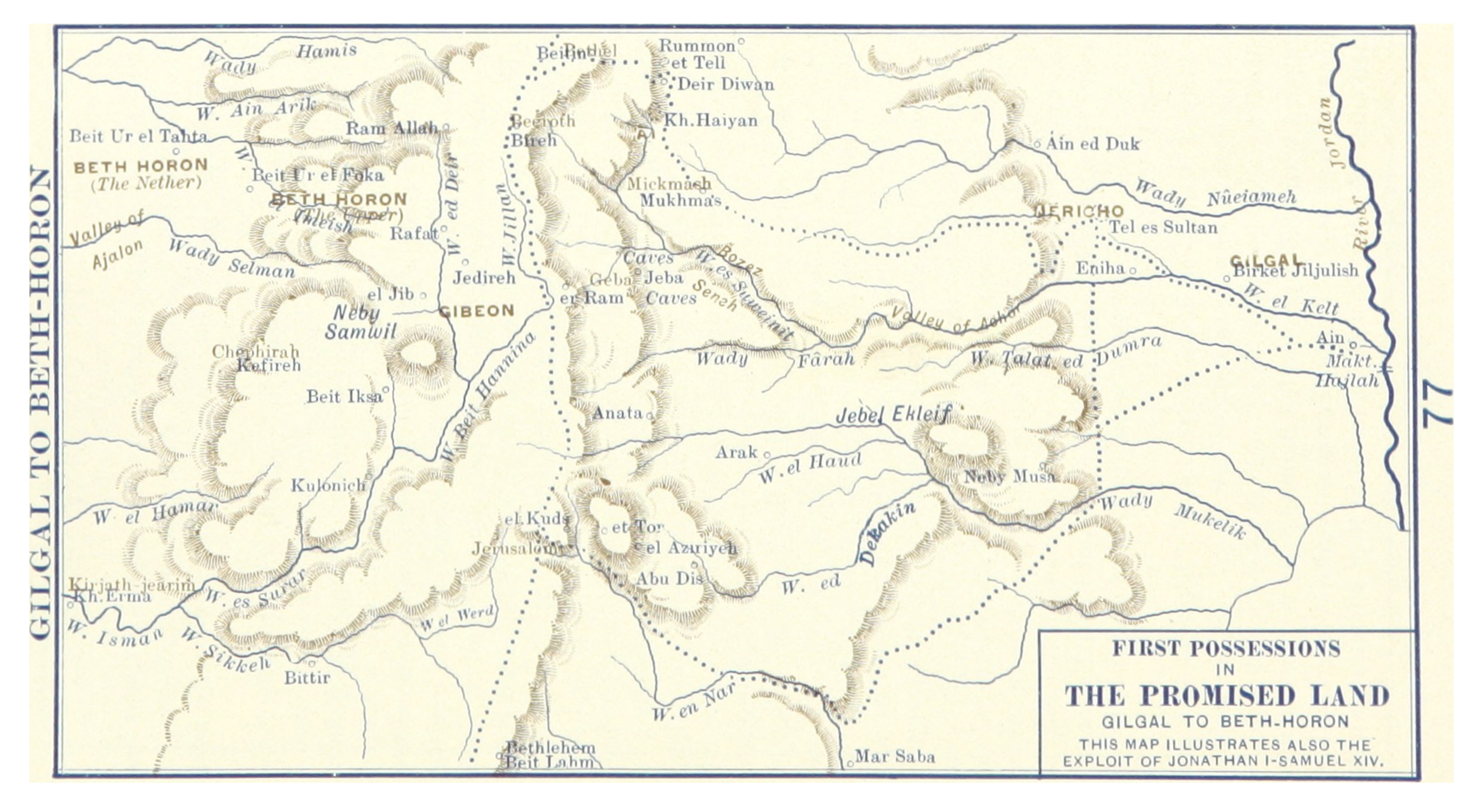
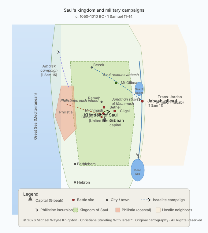
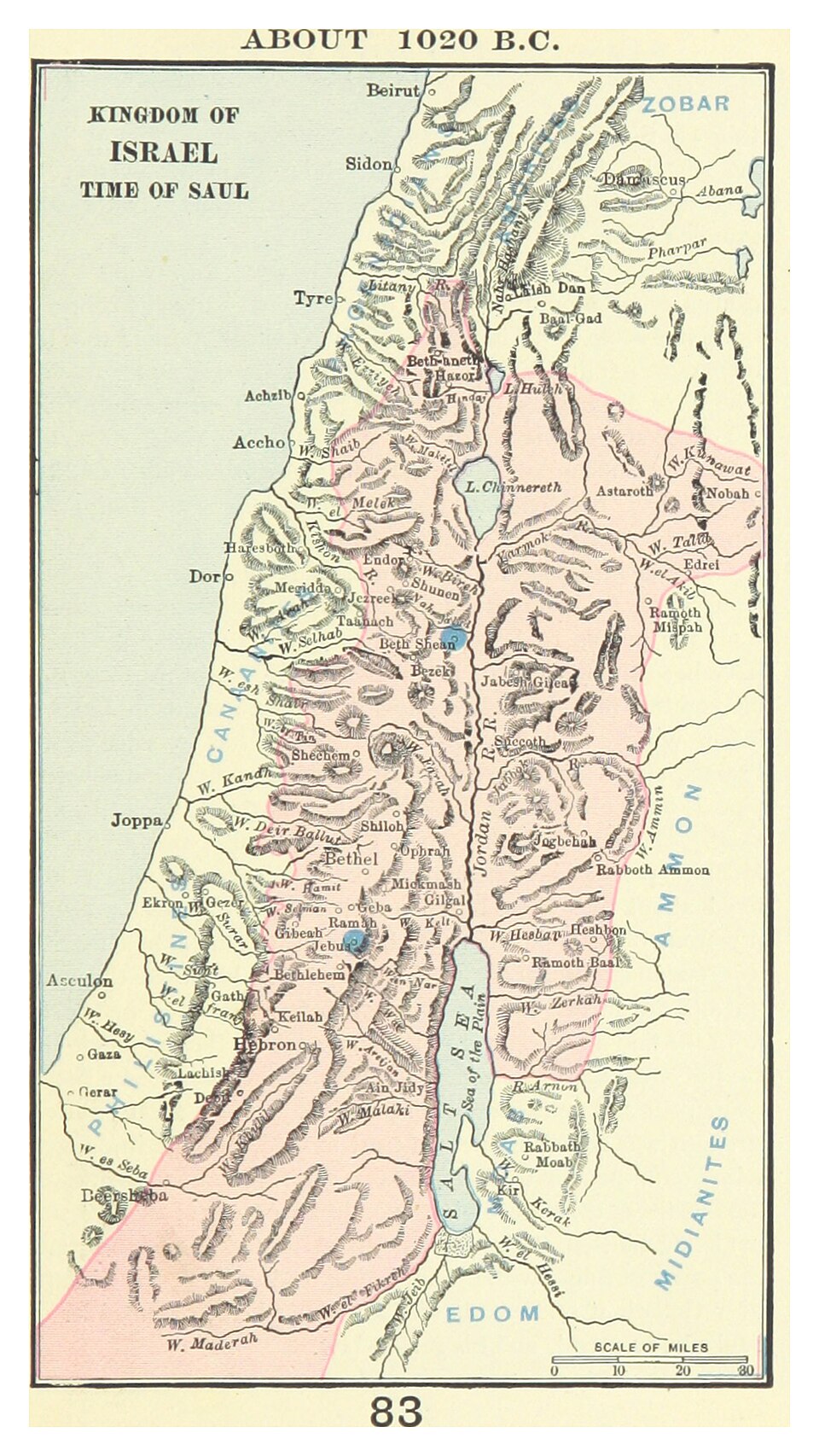
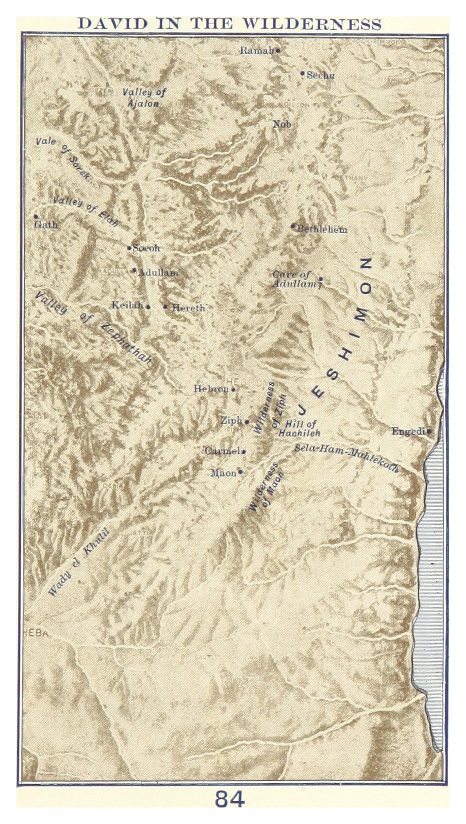
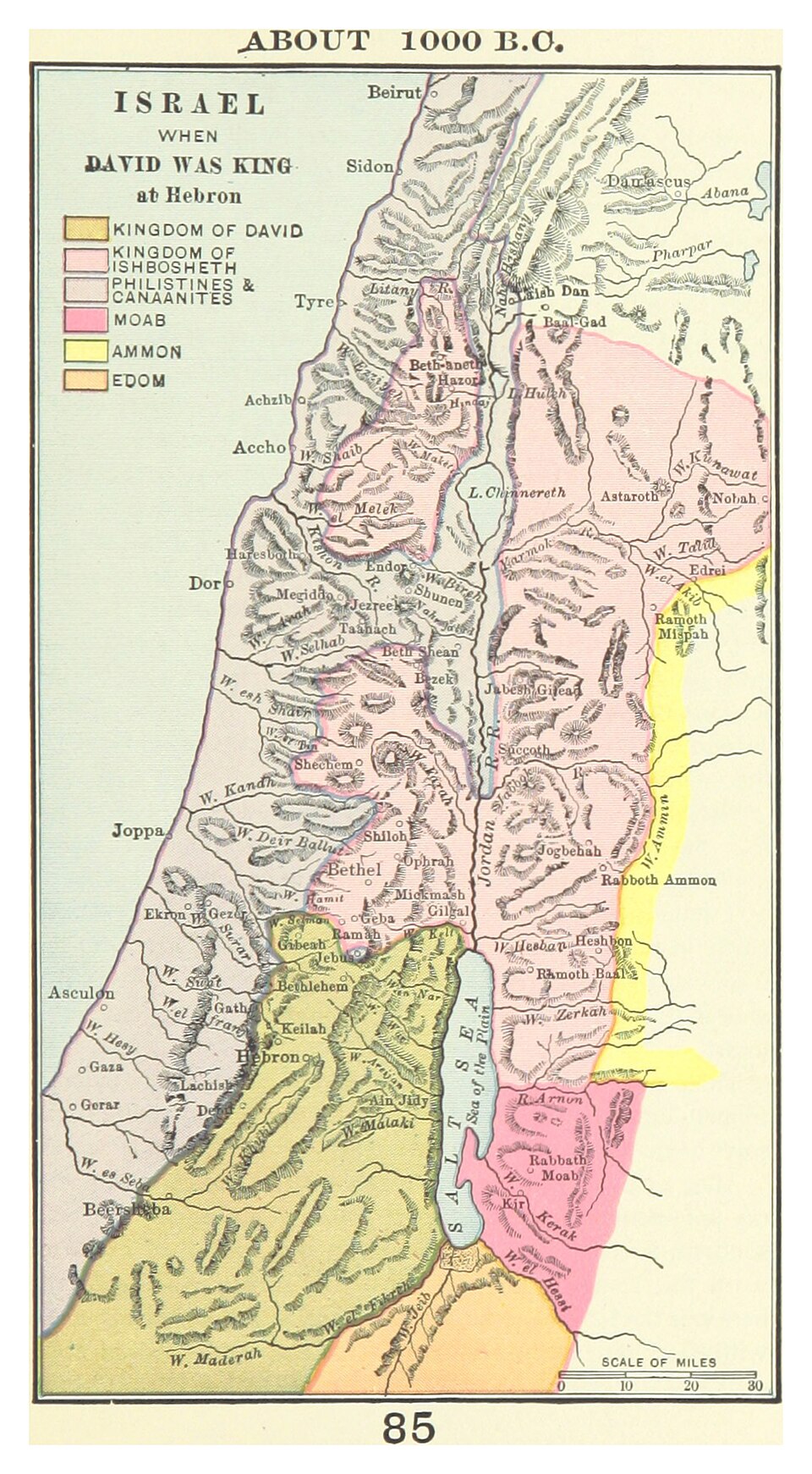
Geography is inseparable from Scripture. The Bible is not an abstract theological treatise — it is a record of God’s acts in time, in space, and among real people in real places. When Abraham departed from Ur of the Chaldees, when Moses led Israel out of Egypt, when Joshua crossed the Jordan and began the conquest of Canaan, when David made Jerusalem the capital of a united kingdom, when the prophets cried out against the nations surrounding Israel — all of it happened in a physical landscape that can be mapped, studied, and understood. Without a working knowledge of that geography, vast portions of the biblical narrative remain flat and inaccessible. These maps exist to change that.
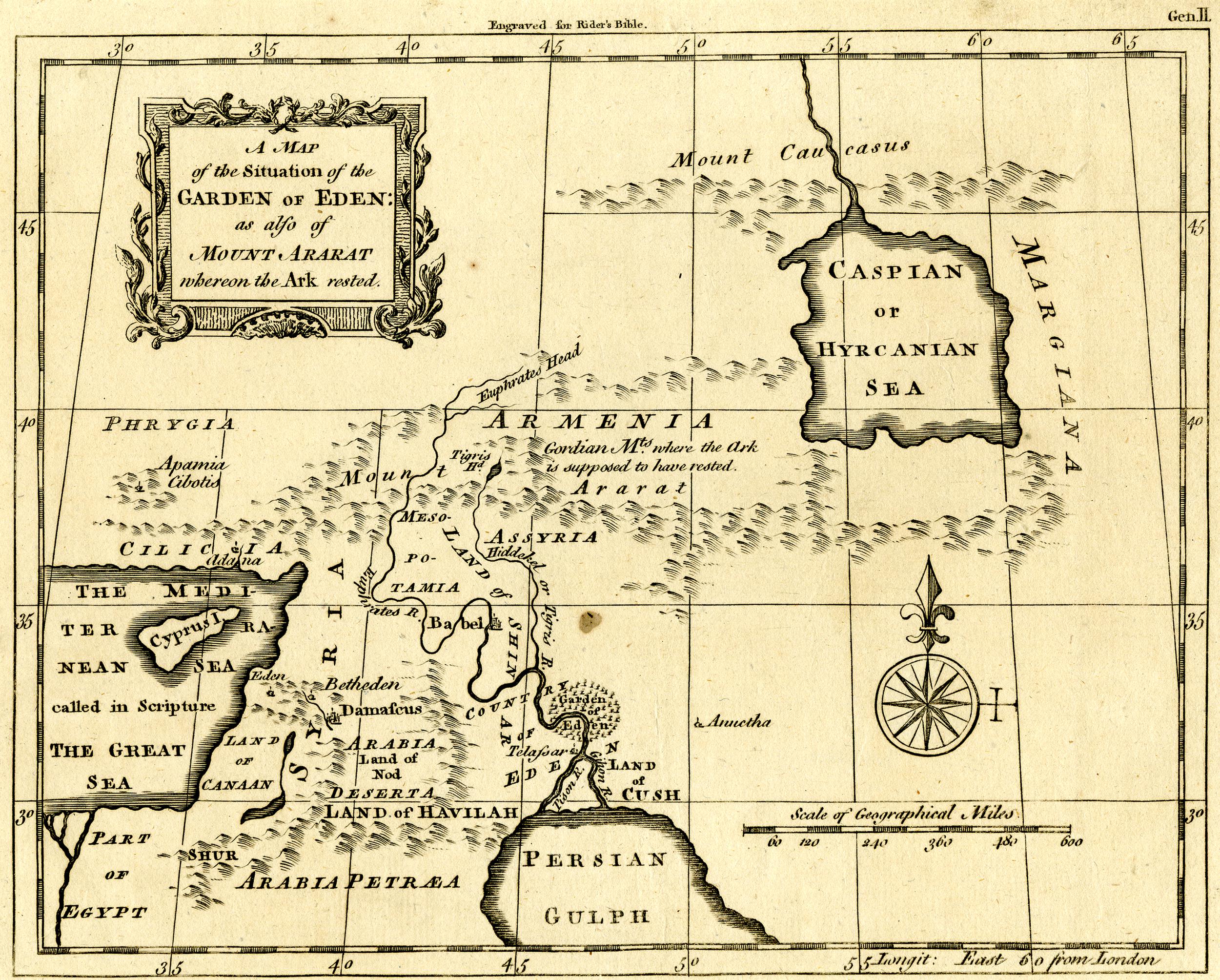
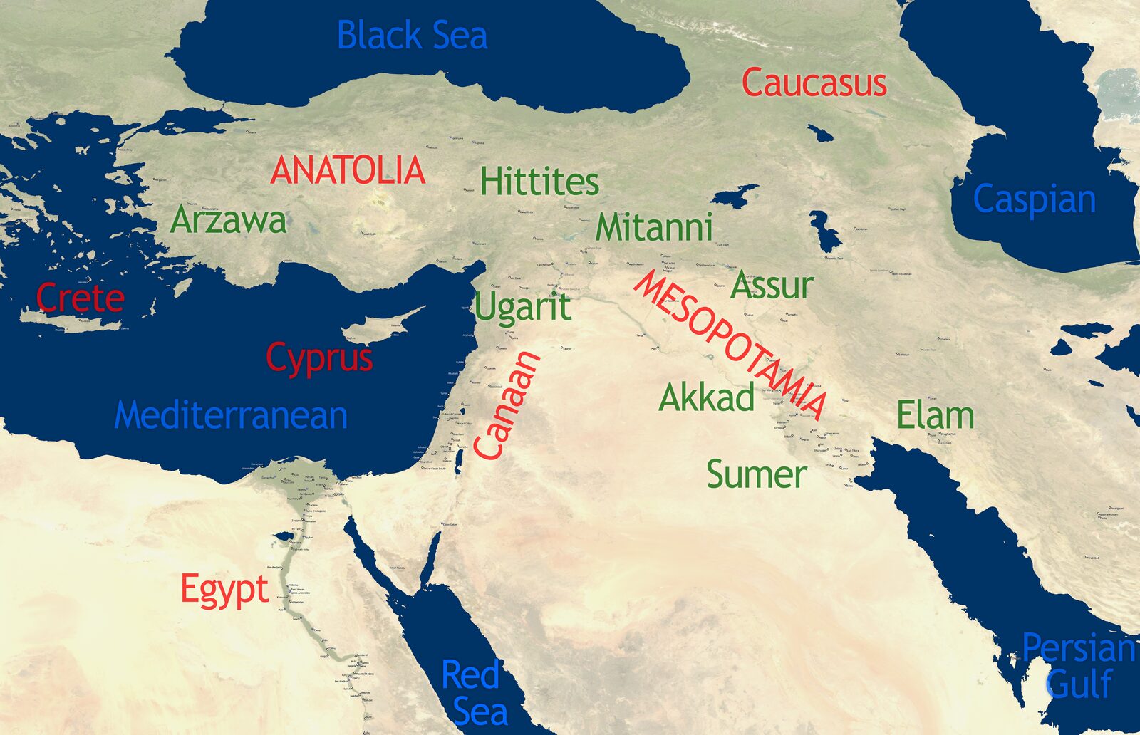
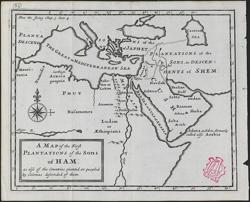
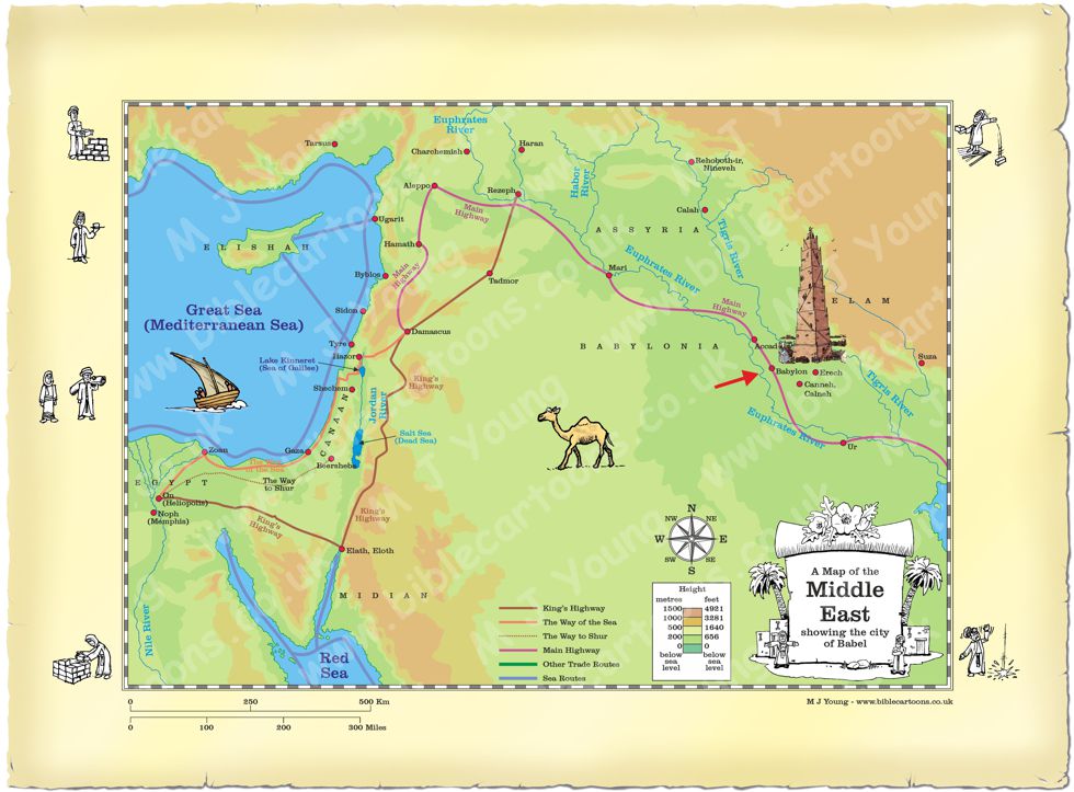
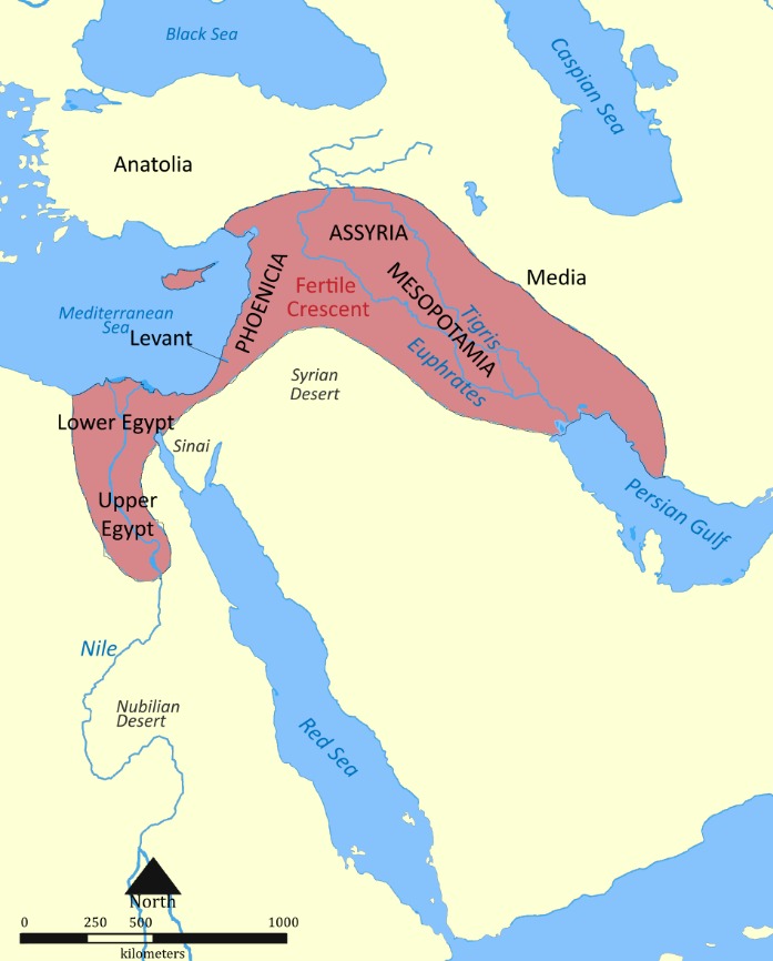
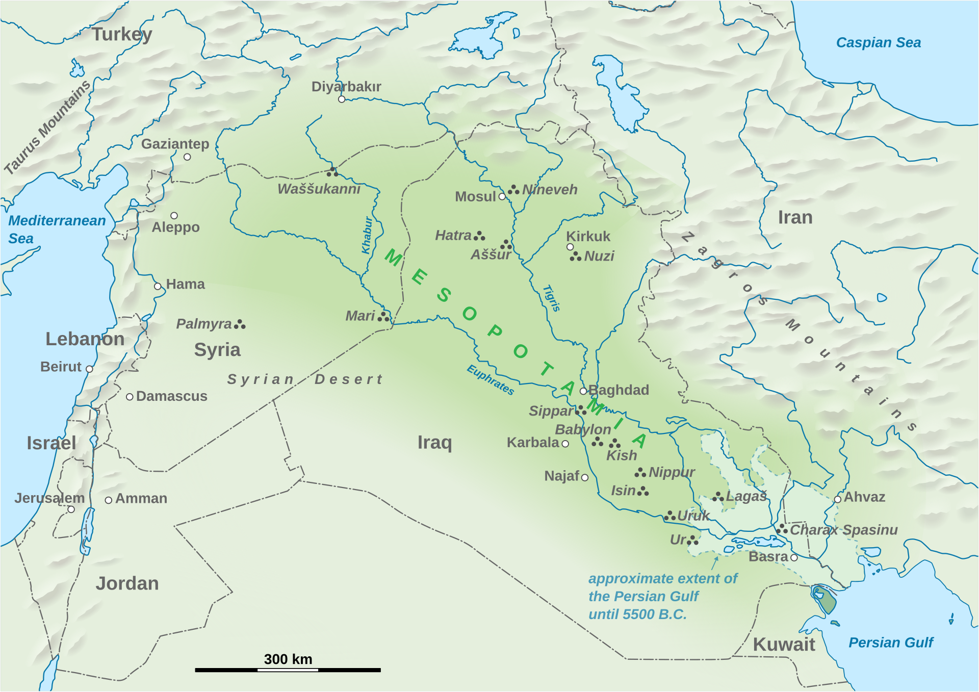
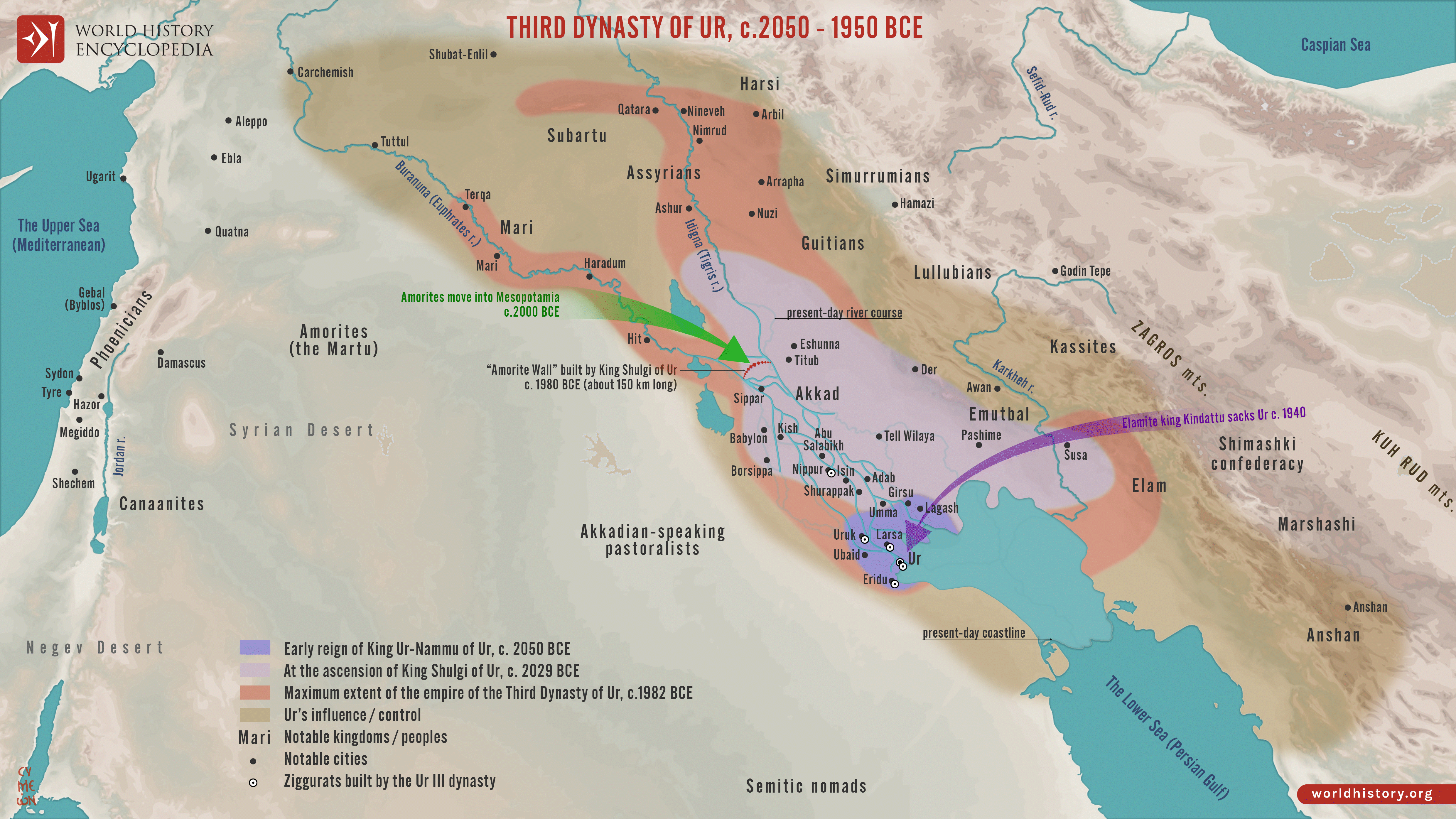
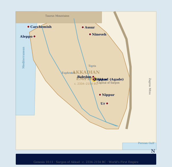
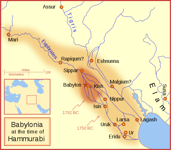
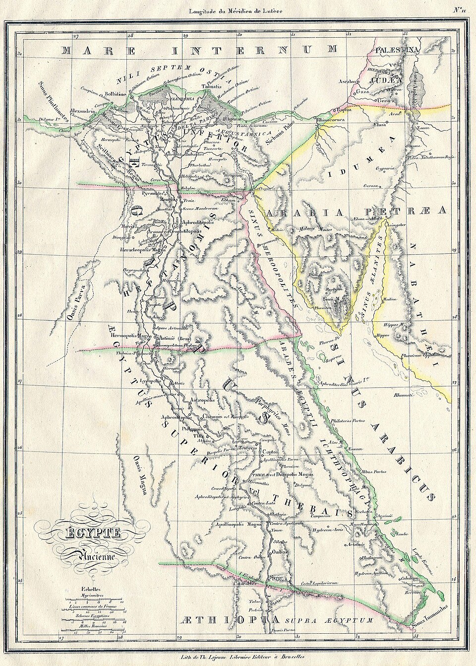
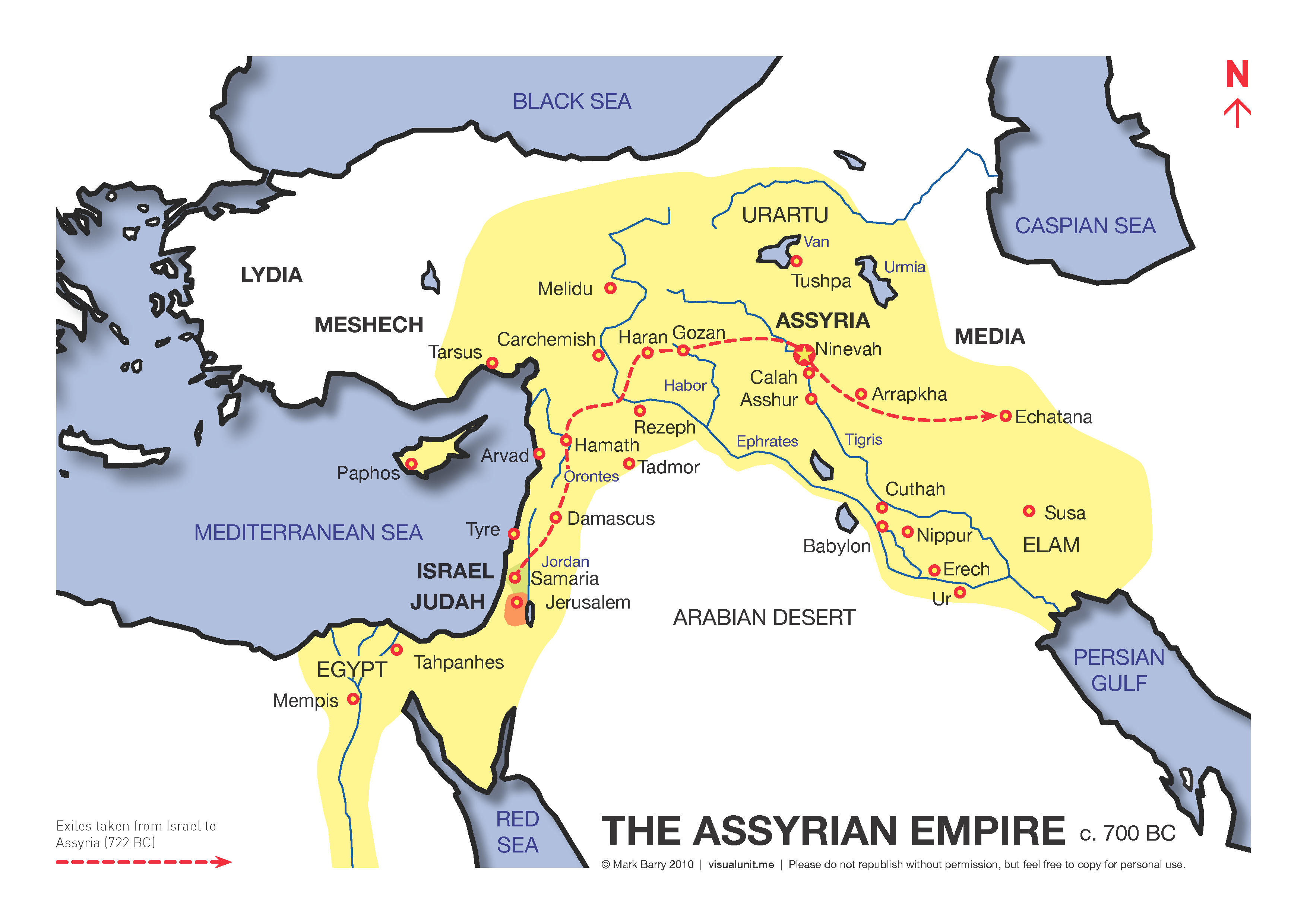
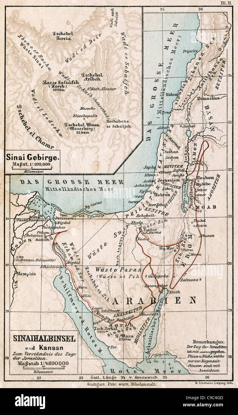
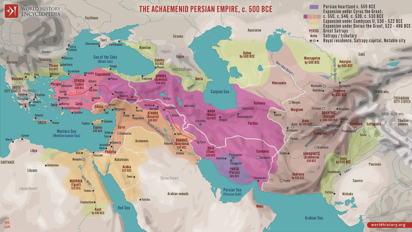
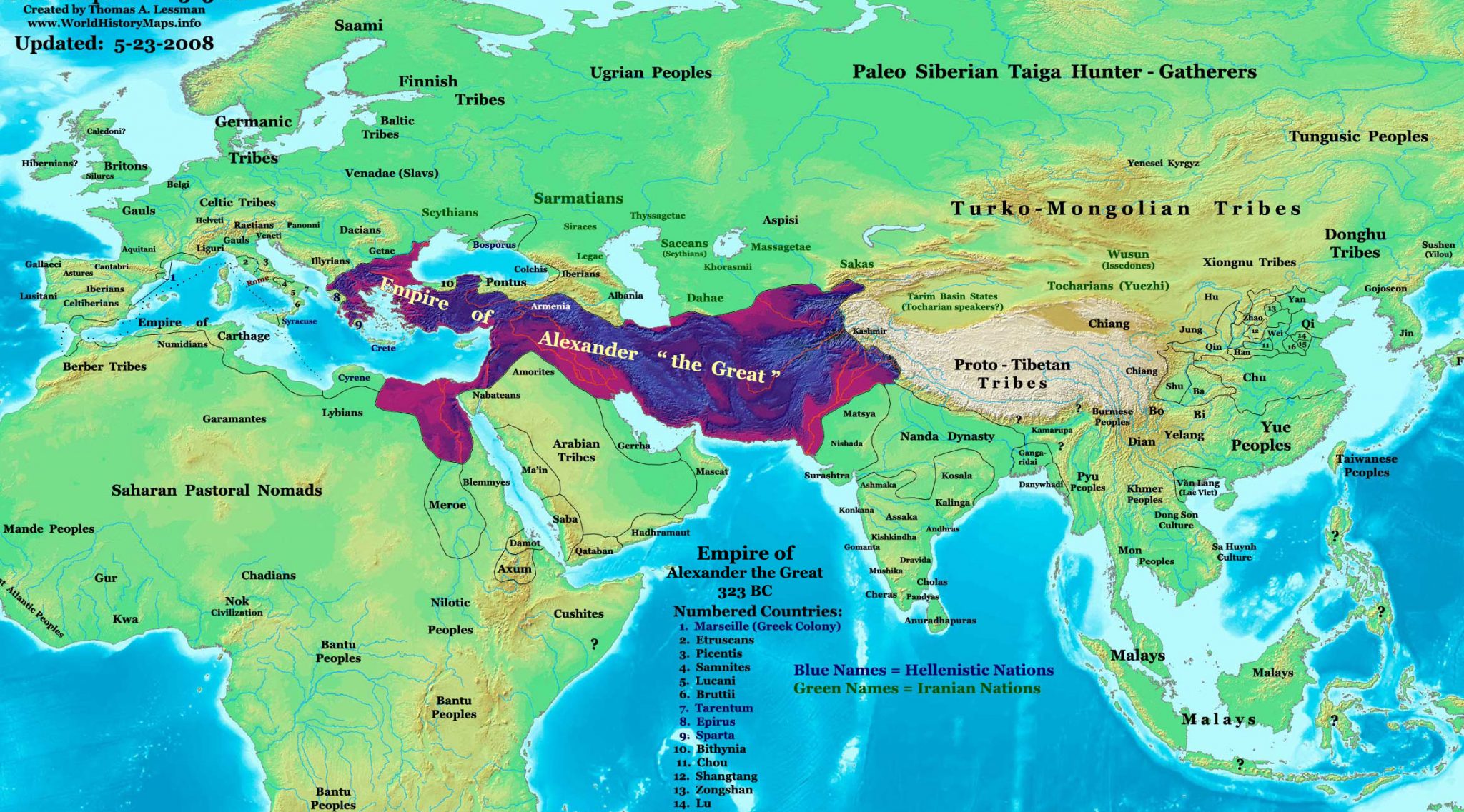
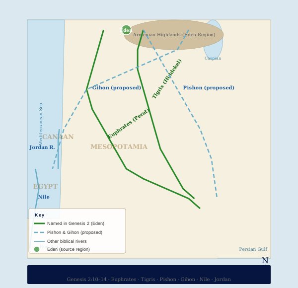
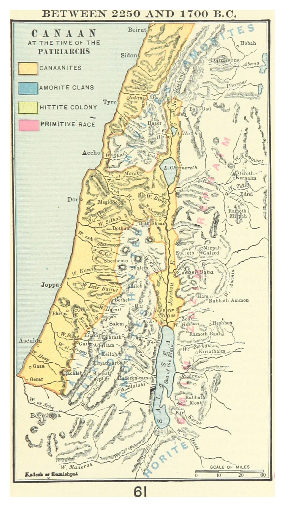
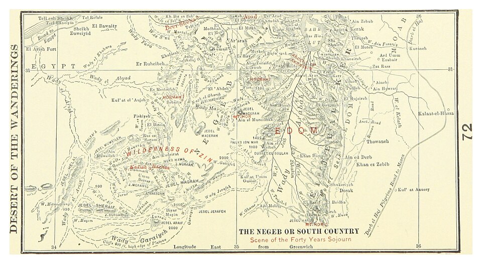
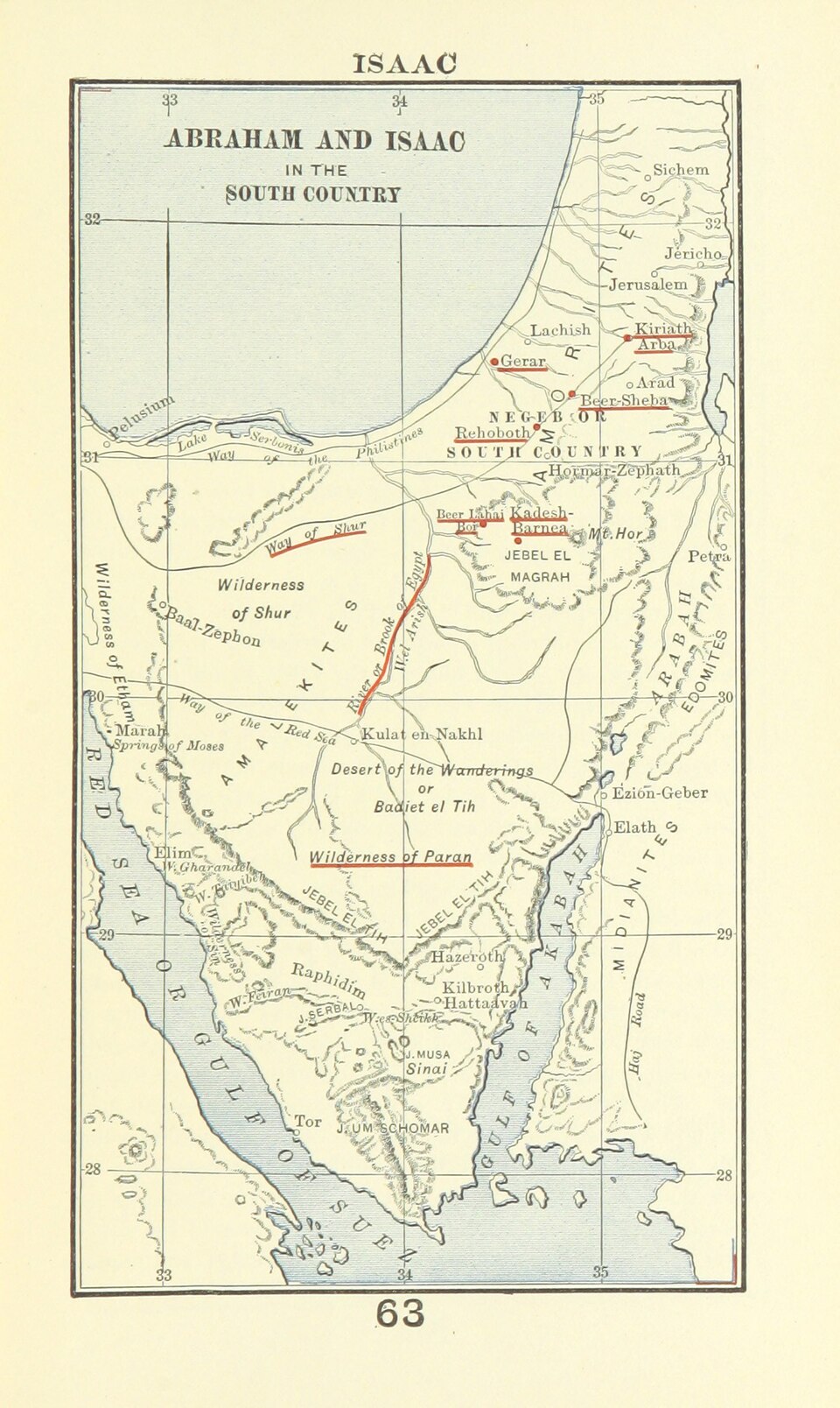
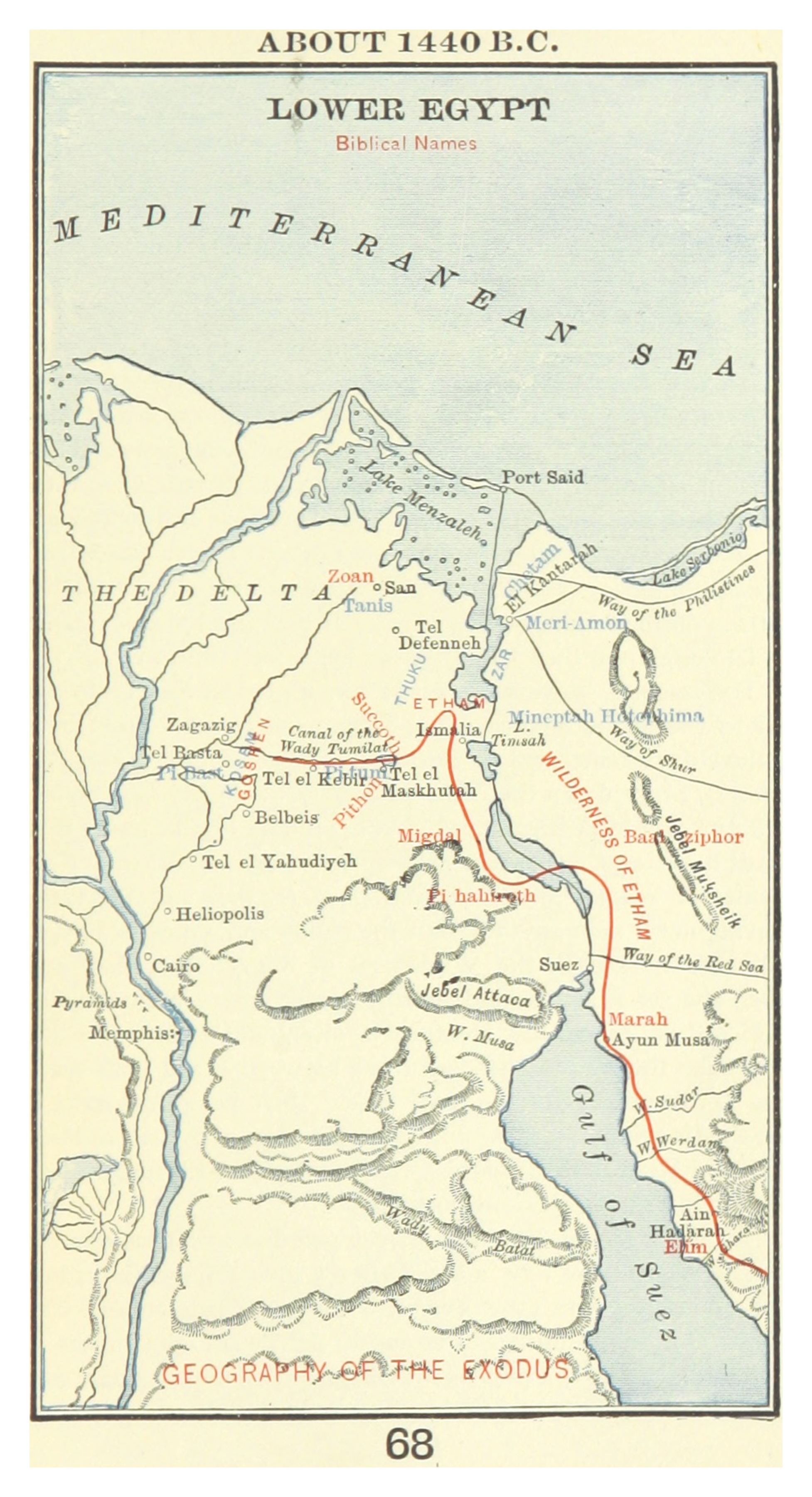
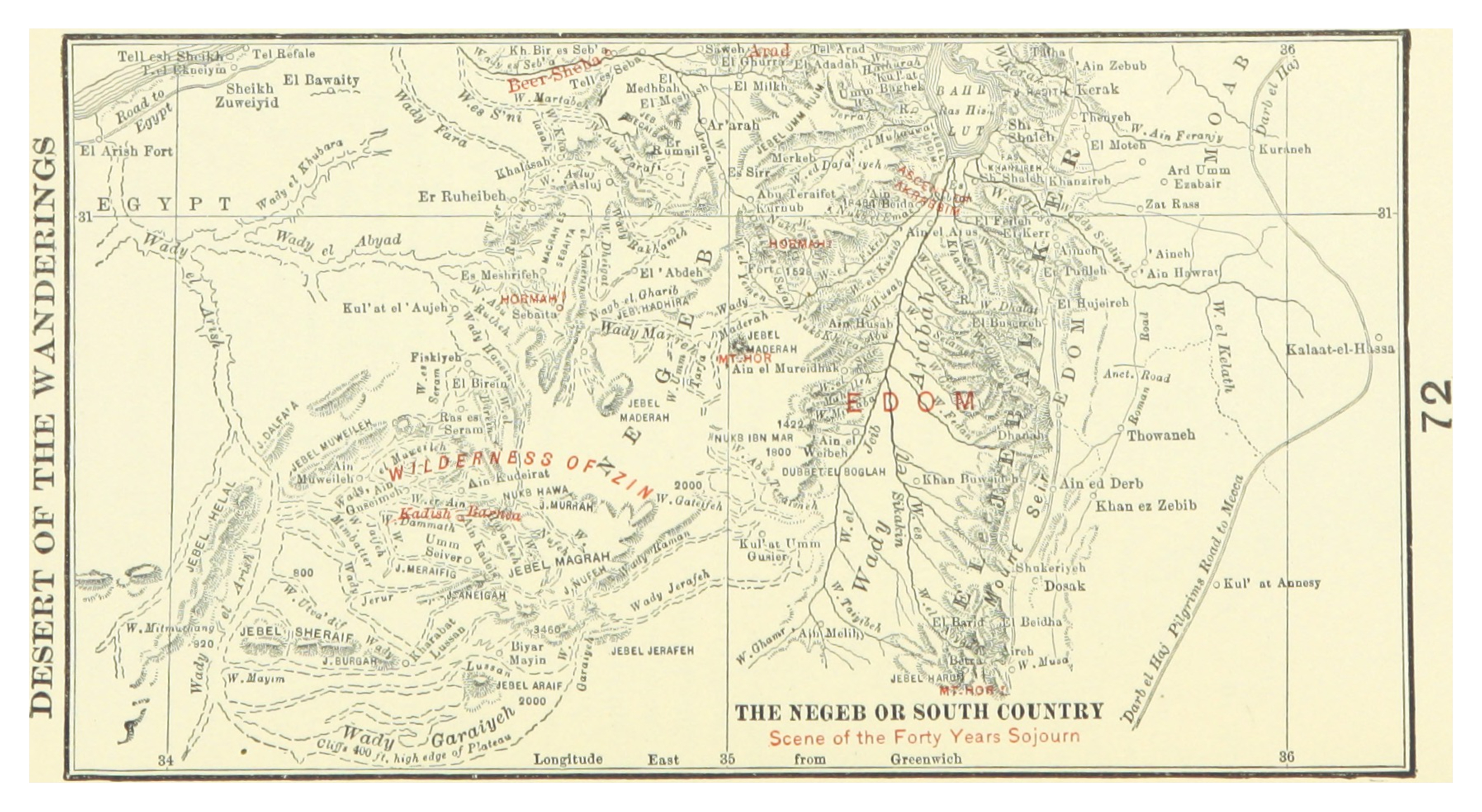
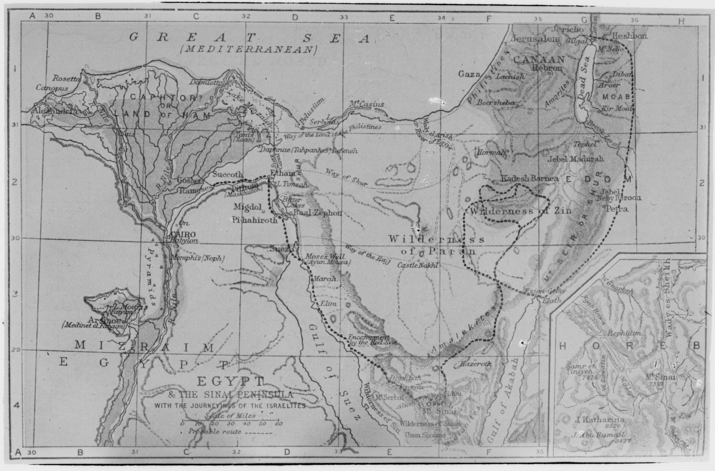
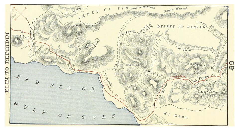
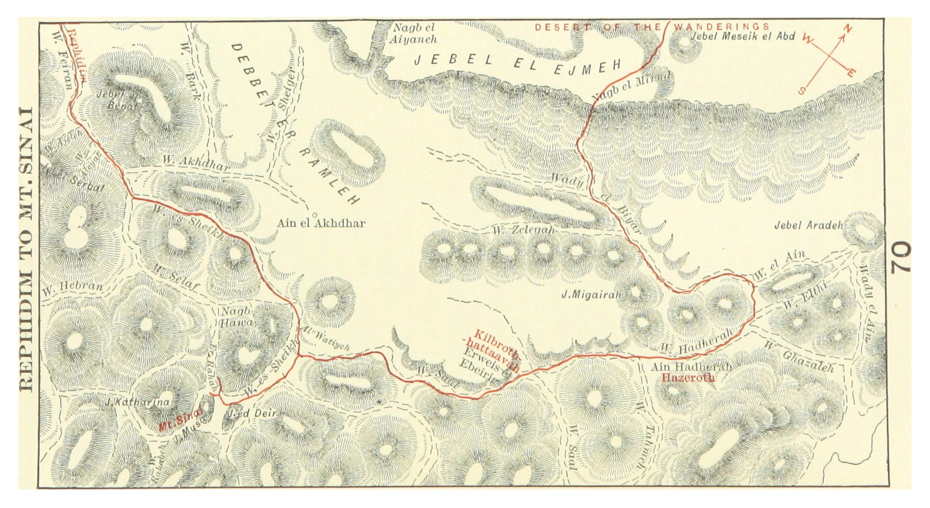
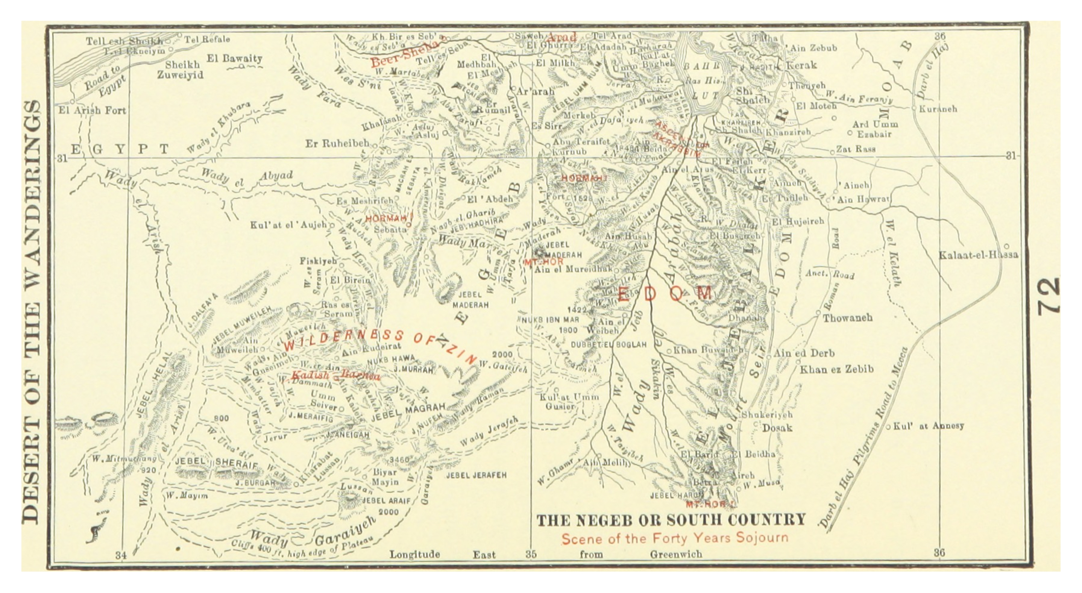
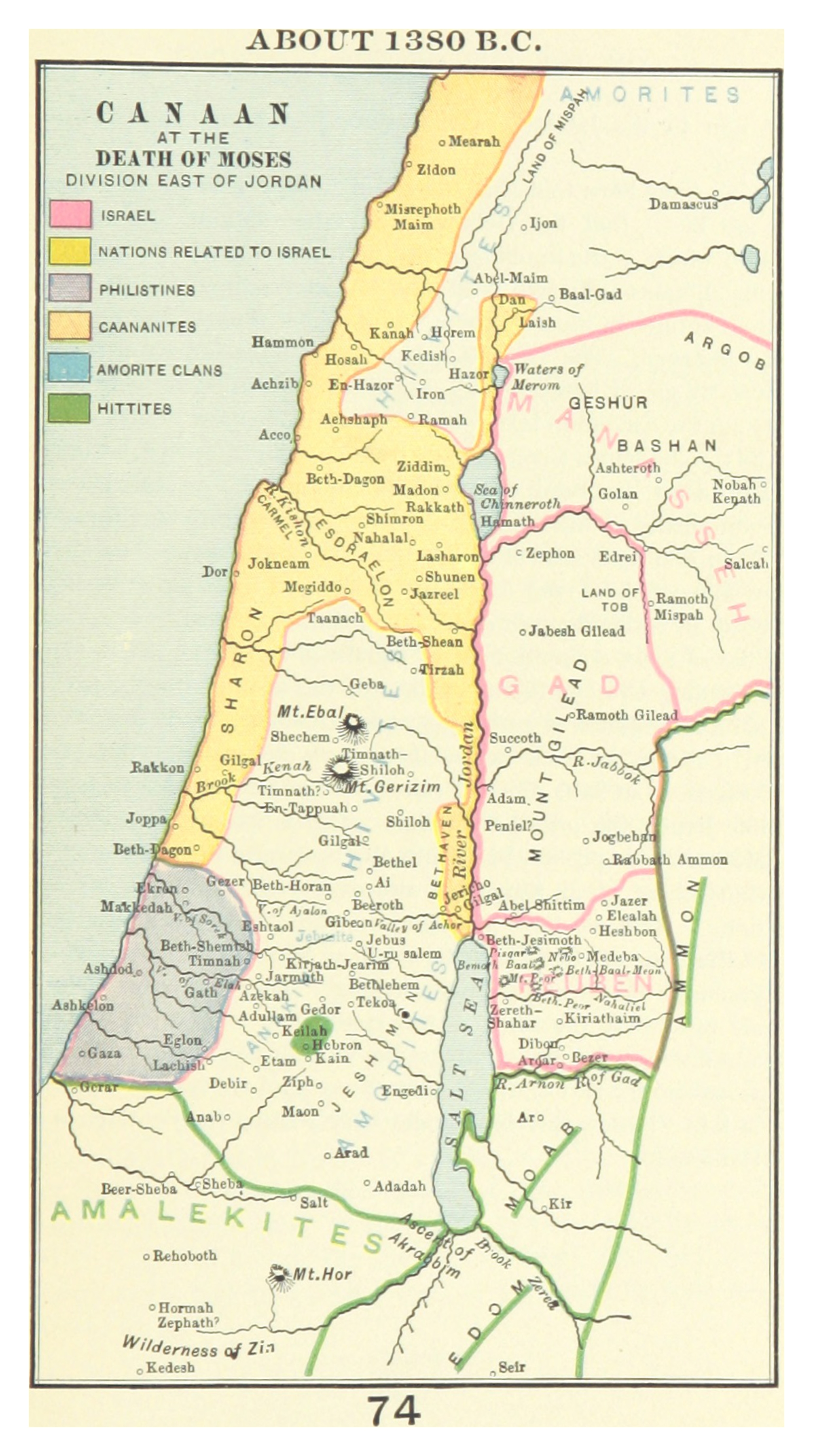
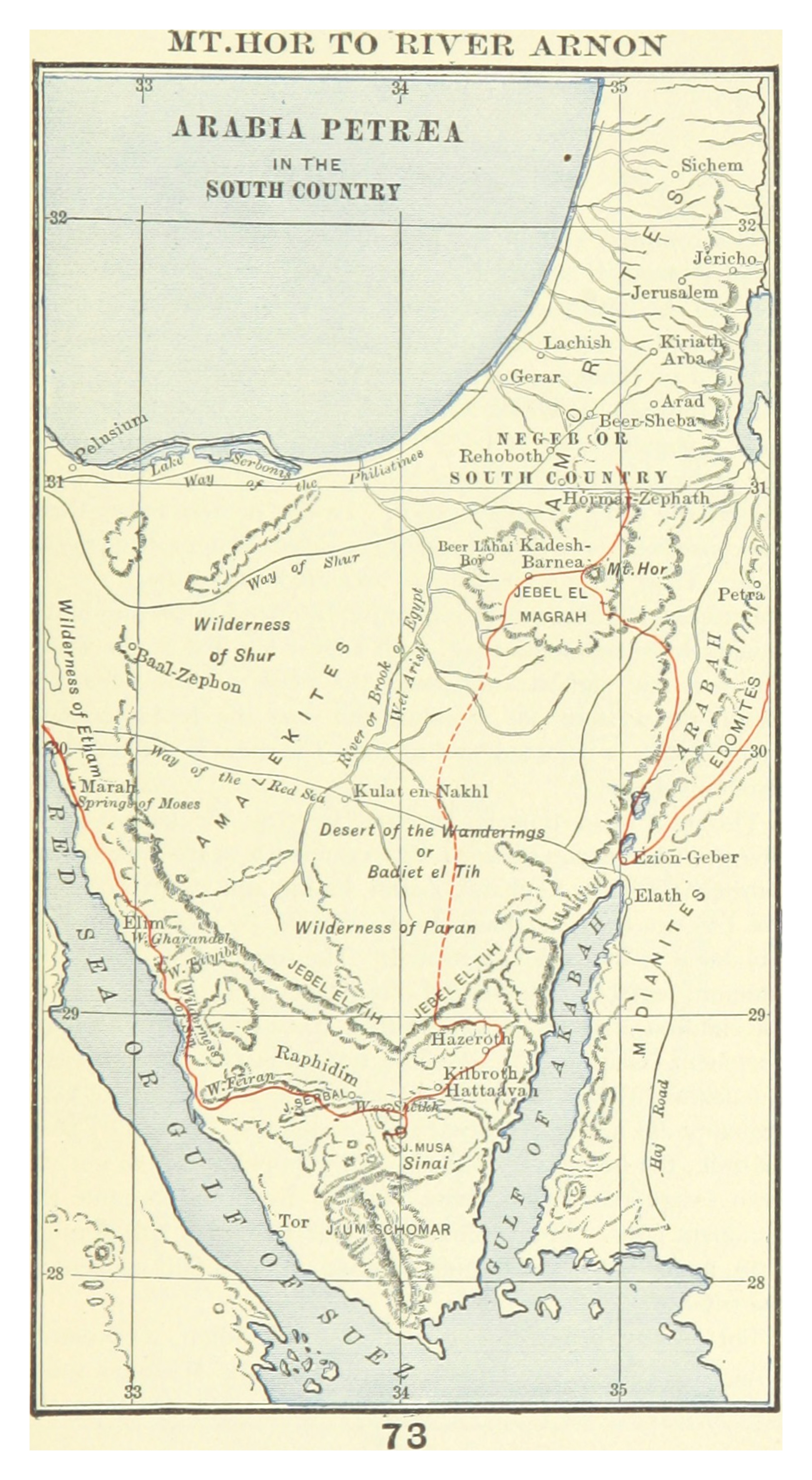
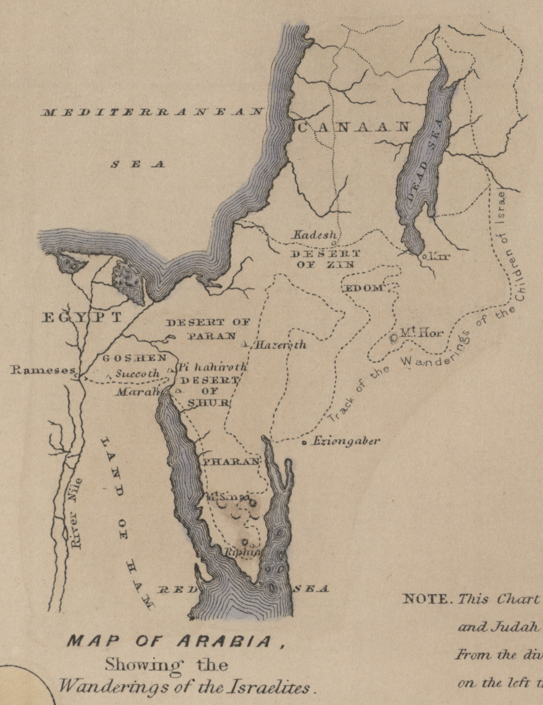
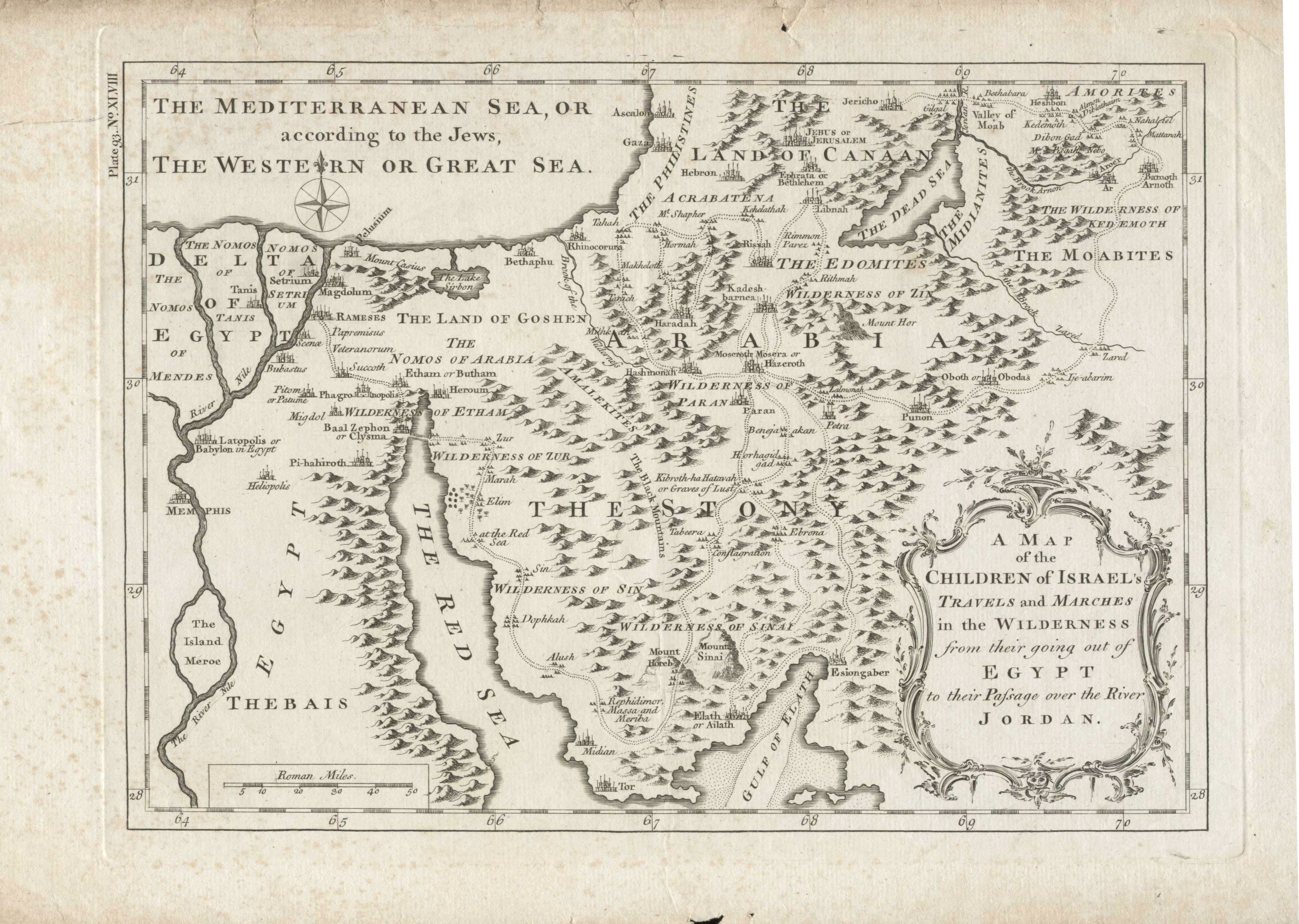
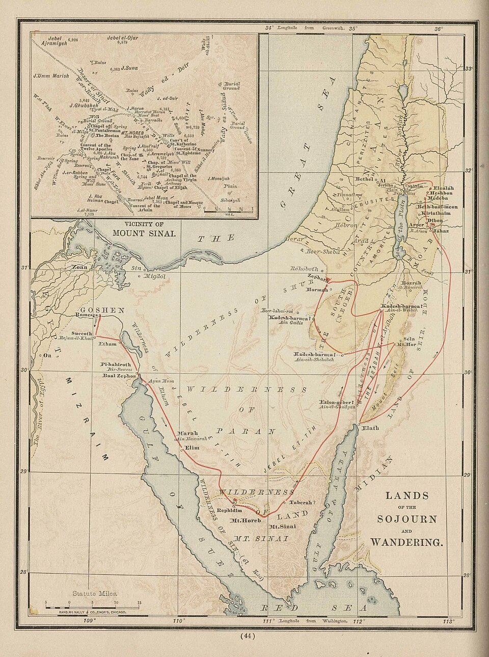
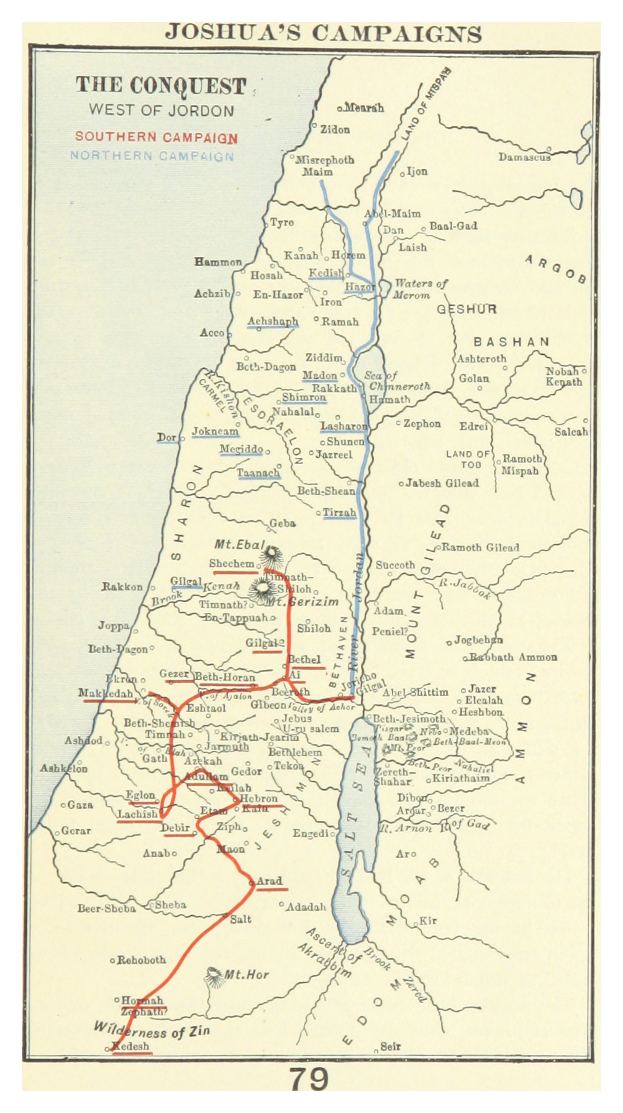
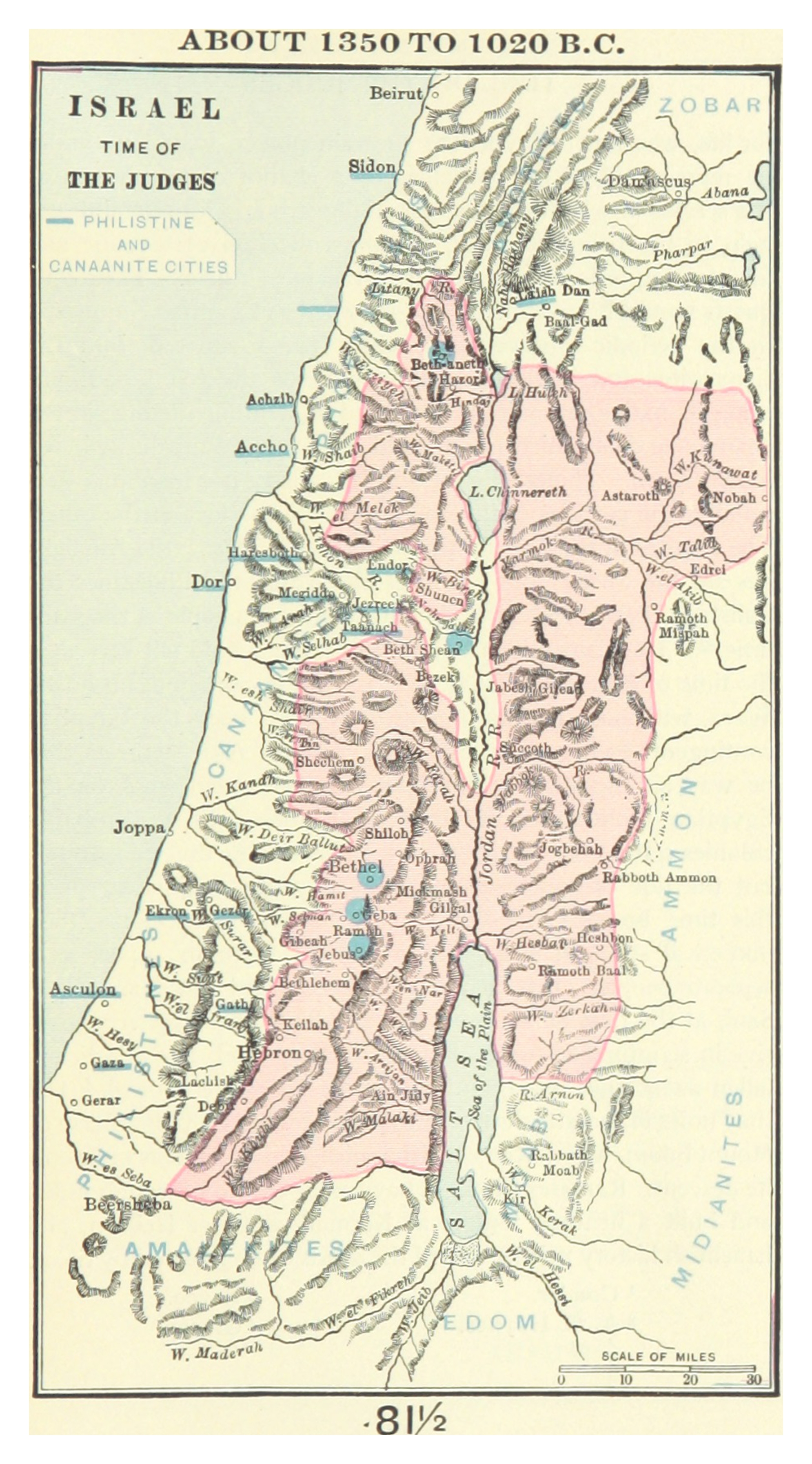
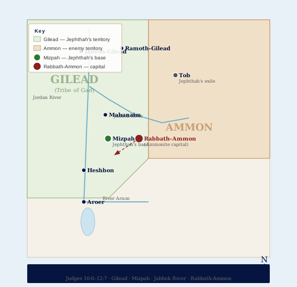
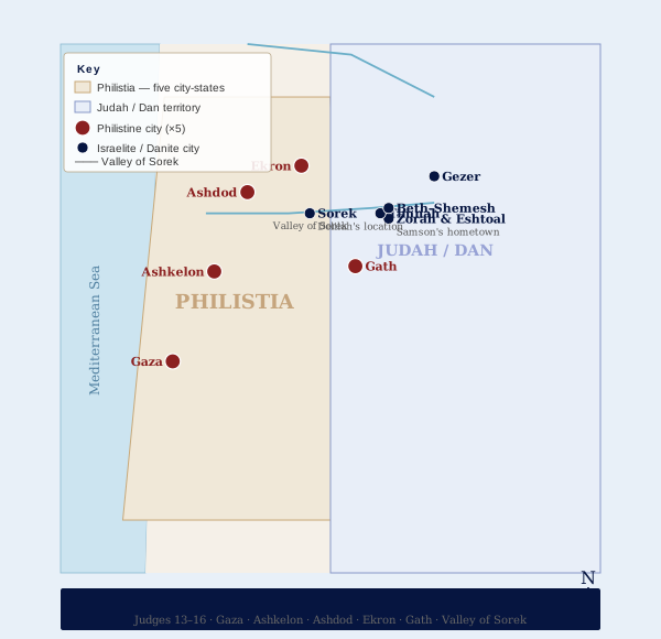
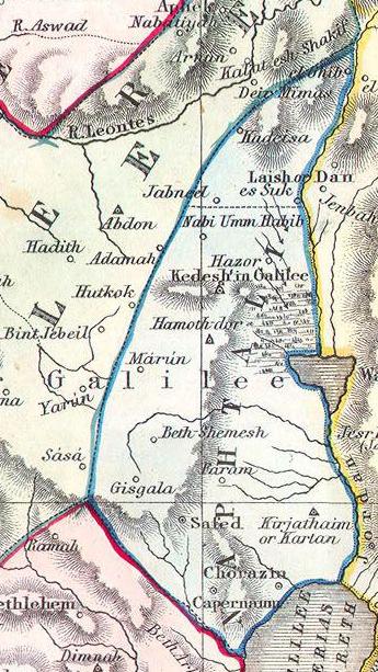
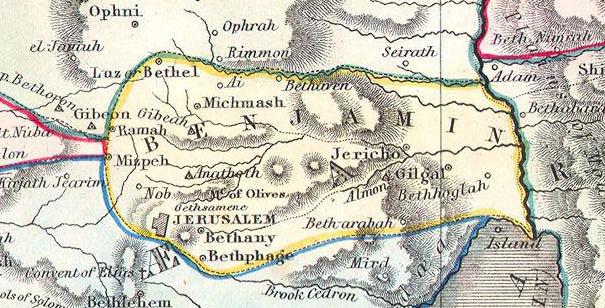
Each map in this collection is accompanied by historical background text drawn from primary sources, archaeological findings, and Scripture itself. The categories move chronologically: beginning with the Ancient Near East and the world of the patriarchs, progressing through the Exodus and the wilderness journey, the conquest of Canaan under Joshua, the era of the Judges, the United and Divided Kingdoms, the Second Temple period, the life and ministry of Jesus across Galilee and Judea, the Roman occupation and its aftermath, the Crusades, the Ottoman centuries, the birth of modern Israel in 1948, and the wars and territorial changes that have shaped the nation from 1948 to the present day. No comparable resource covering this full arc of biblical and modern history exists in a single, freely accessible location.
For those who stand with Israel from a biblical perspective, the geographic narrative is also a theological one. The land covenanted to Abraham, Isaac, and Jacob — defined in Scripture from the river of Egypt to the great river Euphrates — is not incidental to the biblical story. It is central to it. Every map in this library is drawn against the background of that covenant, showing not merely where events occurred but what God was doing in and through those events. The restoration of Jewish sovereignty in the Land of Israel in the twentieth century, against every historical probability, is itself one of the most dramatic fulfillments of biblical prophecy in recorded history — and it is documented here in detail across the final categories of the collection.
This resource is freely available to all visitors. Each of the maps may be browsed by category using the navigation below or by the jump links that follow. Maps are numbered sequentially, with full historical notes and Scripture references accompanying each one. Whether you are a pastor preparing a sermon series, a student tracing the journeys of Paul, a parent teaching your children the geography of the Old Testament, or simply a believer who wants to understand Israel’s place in God’s redemptive plan — this library was built for you. We invite you to explore it, share it, and allow it to deepen your understanding of the Word and the Land.