
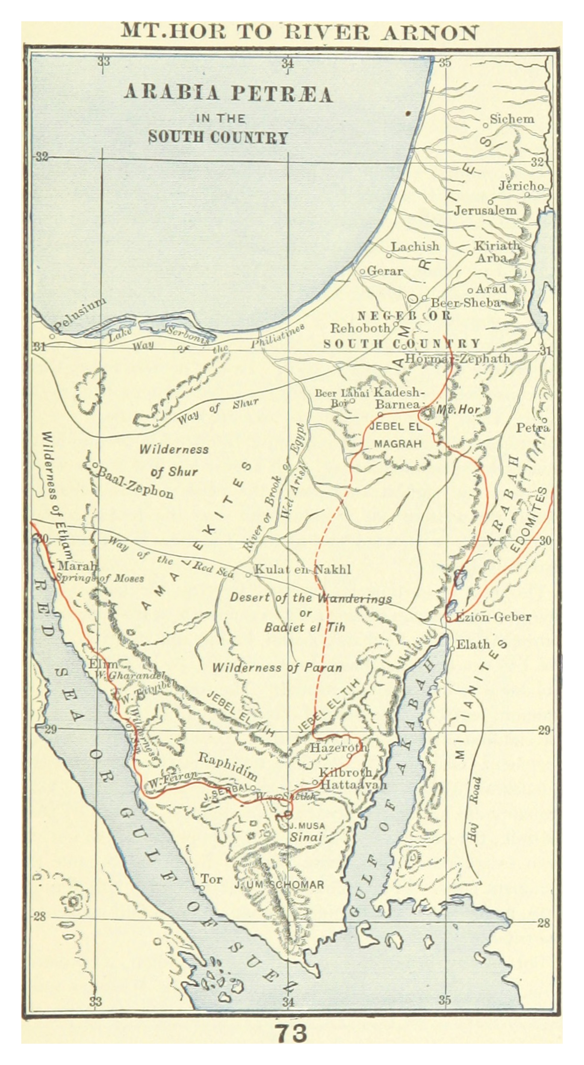
Look at this map and trace the red route. It begins at Mt. Sinai in the lower portion, curves northward through the Wilderness of Paran, reaches Kadesh-Barnea in the center, and traces the long circuit that occupied an entire generation. Forty years. Two million people. Every camp a numbered station in Numbers 33. God kept the itinerary precisely.
The forty years were the direct consequence of the rebellion at Kadesh-Barnea after the twelve spies returned. God had decreed: one year of wandering for every day the spies spent in the land. Forty days of espionage became forty years of exile from the promise. Every man twenty years old and above who had voted with the fearful spies would die before the nation entered Canaan — every one except Caleb and Joshua, the two who had believed.
But the forty years were not merely punishment. They were formation. The generation that entered Canaan under Joshua had never known Egypt. They had grown up eating manna, following the cloud, watching God provide water from rocks and quail from the sky. They had seen Korah's rebellion swallowed by the earth. They had watched the bronze serpent heal the snake-bitten. They had seen God fight for Israel against Sihon and Og. They were a different people from the generation that had stood at the edge of the land and turned away in fear.
Find Edom on the right side of the map with Petra labeled. When Israel finally left Kadesh after the forty years and asked Edom for passage, the answer was no — and a large army came out to enforce it. Israel turned south, then east, around Edom's border. Find Ezion-Geber at the top of the Gulf of Aqaba — Israel camped there before turning north. Then north along the eastern side of Edom and Moab. Every detour had a purpose. Every blocked road redirected toward the right approach. The wilderness was not a maze — it was a corridor, and God knew every turn.